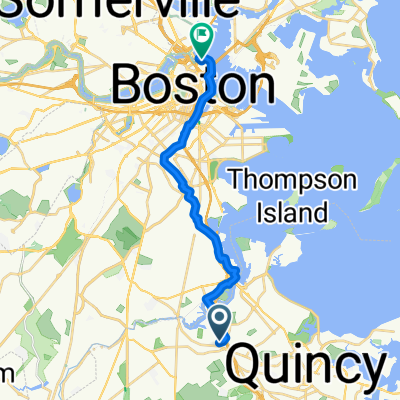
Moderate route in Boston
- 5.4 km
- 0 m
- 8 m
- Milton, Massachusetts, United States
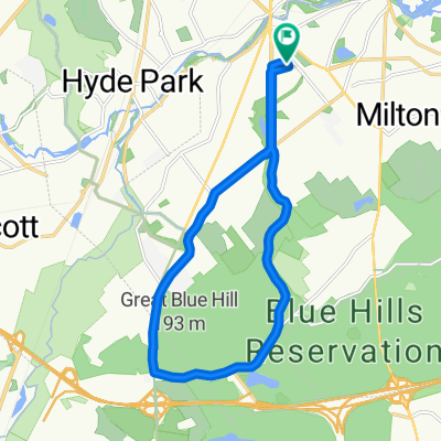
Road
14.7 km47 %Quiet road
8.4 km27 %Paved
27.8 km(89 %)Unpaved
2.5 km(8 %)Asphalt
27.8 km89 %Ground
2.5 km8 %Undefined
0.9 km3 %Free trial for 3 days, or one-time payment. More about Bikemap Premium.
Discover more Premium features.
Get Bikemap PremiumOpen it in the app