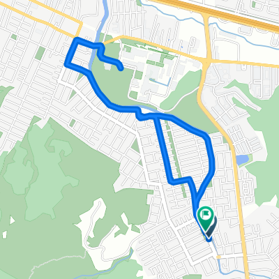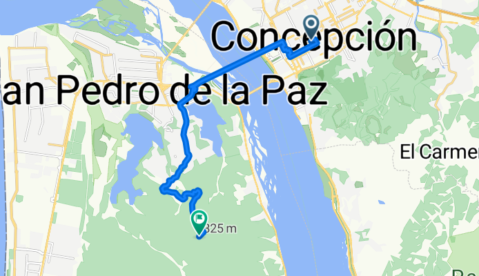

Ruta de descanso
- 10.6 km
- 385 m
- 139 m
- Concepción, Región del Biobío, Chile
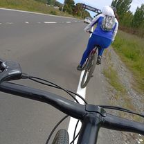
A cycling route starting in Concepción, Región del Biobío, Chile.
Overview
Route from Plaza Independencia in Concepción to Mirador El Venado in San Pedro at 275m above sea level. The street route to the end of Fundo El Venado is shown and from there marked by the main road with points.
created this 15 years ago
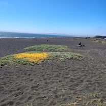
Route highlights
Continue with Bikemap
You would like to ride Conce- Camino El Venado or customize it for your own trip? Here is what you can do with this Bikemap route:
Free trial for 3 days, or one-time payment. More about Bikemap Premium.
Discover more Premium features.
Get Bikemap PremiumFrom our community
Open it in the app