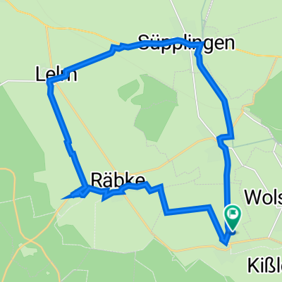
Am Tiefental 11A, Warberg nach Am Tiefental 11, Warberg
- 17.1 km
- 111 m
- 109 m
- Warberg, Lower Saxony, Germany
A cycling route starting in Warberg, Lower Saxony, Germany.
Overview
Cycling tour in nice weather through and around the Elm.
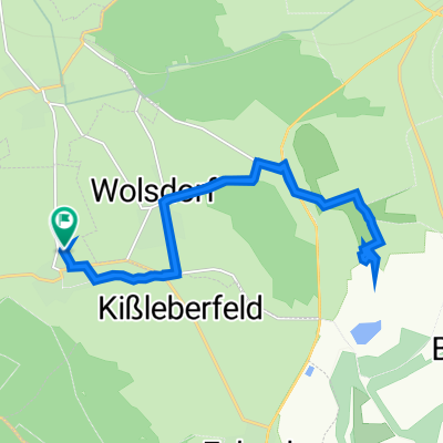
If needed, you can also ride from Königslutter via Dragon Mountain to Langeleben on an MTB.
Route quality
Track
8.7 km
(17 %)
Path
6.6 km
(13 %)
Paved
37.2 km
(73 %)
Unpaved
10.2 km
(20 %)
Asphalt
37.2 km
(73 %)
Gravel
4.6 km
(9 %)
Continue with Bikemap
You would like to ride Elmrundfahrt or customize it for your own trip? Here is what you can do with this Bikemap route:
Free trial for 3 days, or one-time payment. More about Bikemap Premium.
Discover more Premium features.
Get Bikemap PremiumFrom our community
Open it in the app