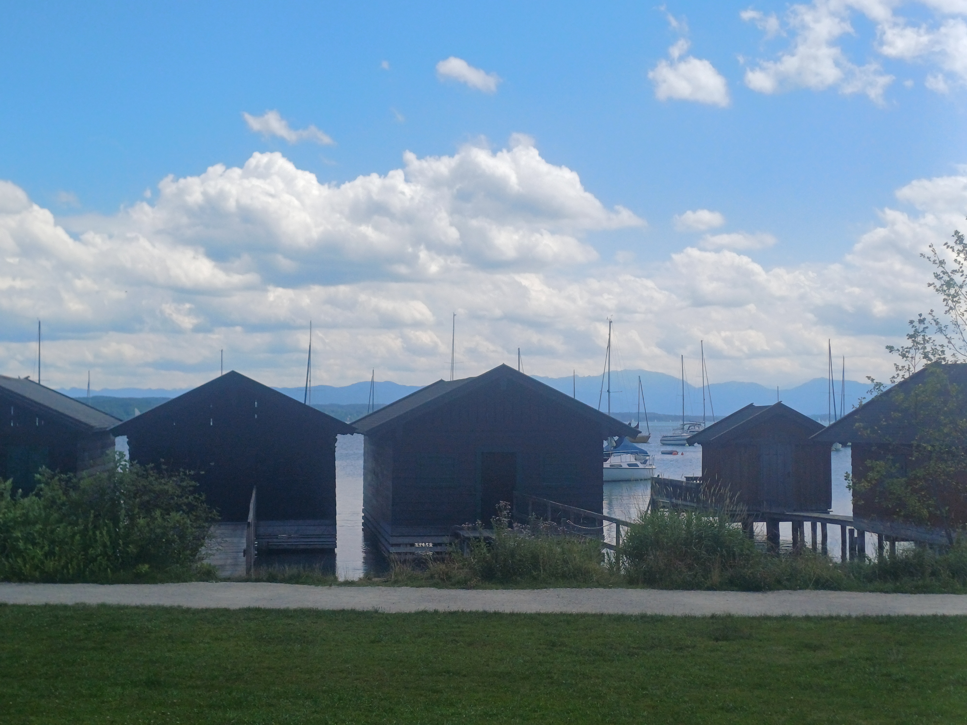
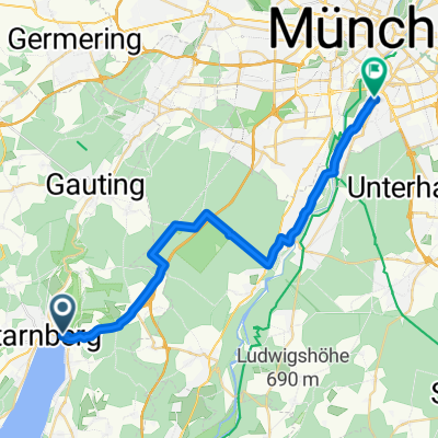
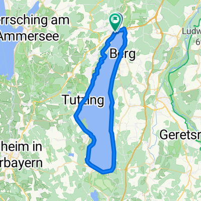
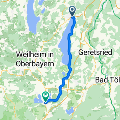
Am Ufer des Starnberger Sees
A cycling route starting in Starnberg, Bavaria, Germany.
Overview
About this route
Once along the shore of Lake Starnberg. The start and finish are at the P&R parking lot in Starnberg (Great parking!)
- -:--
 - Duration
 - 52 km
 - Distance
 - 260 m
 - Ascent
 - 251 m
 - Descent
 - ---
 - Avg. speed
 - 638 m
 - Max. altitude
 
Route quality
Waytypes & surfaces along the route
Waytypes
Quiet road
17.7 km
(34 %)
Path
5.7 km
(11 %)
Surfaces
Paved
38.5 km
(74 %)
Unpaved
9.4 km
(18 %)
Asphalt
37.4 km
(72 %)
Gravel
6.2 km
(12 %)
Continue with Bikemap
Use, edit, or download this cycling route
You would like to ride Am Ufer des Starnberger Sees or customize it for your own trip? Here is what you can do with this Bikemap route:
Free features
- Save this route as favorite or in collections
 - Copy & plan your own version of this route
 - Sync your route with Garmin or Wahoo
 
Premium features
Free trial for 3 days, or one-time payment. More about Bikemap Premium.
- Navigate this route on iOS & Android
 - Export a GPX / KML file of this route
 - Create your custom printout (try it for free)
 - Download this route for offline navigation
 
Discover more Premium features.
Get Bikemap PremiumFrom our community
Other popular routes starting in Starnberg
Am Ufer des Starnberger Sees- Distance
 - 52 km
 - Ascent
 - 260 m
 - Descent
 - 251 m
 - Location
 - Starnberg, Bavaria, Germany
 
Runde um den Starnberger See- Distance
 - 55 km
 - Ascent
 - 421 m
 - Descent
 - 478 m
 - Location
 - Starnberg, Bavaria, Germany
 
STARNBERGER SEE- Distance
 - 52.6 km
 - Ascent
 - 74 m
 - Descent
 - 74 m
 - Location
 - Starnberg, Bavaria, Germany
 
Um den Starnberger See- Distance
 - 50.3 km
 - Ascent
 - 306 m
 - Descent
 - 298 m
 - Location
 - Starnberg, Bavaria, Germany
 
Traingsrunde nach Maising- Distance
 - 16.1 km
 - Ascent
 - 196 m
 - Descent
 - 161 m
 - Location
 - Starnberg, Bavaria, Germany
 
Starnberger-See Radtour- Distance
 - 50.2 km
 - Ascent
 - 203 m
 - Descent
 - 204 m
 - Location
 - Starnberg, Bavaria, Germany
 
Percha - Wolfratshausen - Percha- Distance
 - 28.7 km
 - Ascent
 - 278 m
 - Descent
 - 278 m
 - Location
 - Starnberg, Bavaria, Germany
 
Rund um den Starnberger See- Distance
 - 50.3 km
 - Ascent
 - 70 m
 - Descent
 - 67 m
 - Location
 - Starnberg, Bavaria, Germany
 
Open it in the app


