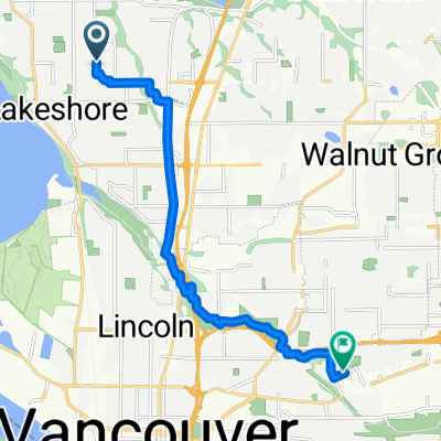
1401–1499 NW 103rd Cir, Vancouver to 6311 NW Bernie Dr, Vancouver
A cycling route starting in Lake Shore, Washington, United States of America.
Overview
About this route
- 13 min
- Duration
- 3.8 km
- Distance
- 52 m
- Ascent
- 71 m
- Descent
- 18 km/h
- Avg. speed
- ---
- Avg. speed
Route quality
Waytypes & surfaces along the route
Waytypes
Road
1.9 km
(49 %)
Quiet road
1.4 km
(35 %)
Continue with Bikemap
Use, edit, or download this cycling route
You would like to ride 1401–1499 NW 103rd Cir, Vancouver to 6311 NW Bernie Dr, Vancouver or customize it for your own trip? Here is what you can do with this Bikemap route:
Free features
- Save this route as favorite or in collections
- Copy & plan your own version of this route
- Sync your route with Garmin or Wahoo
Premium features
Free trial for 3 days, or one-time payment. More about Bikemap Premium.
- Navigate this route on iOS & Android
- Export a GPX / KML file of this route
- Create your custom printout (try it for free)
- Download this route for offline navigation
Discover more Premium features.
Get Bikemap PremiumFrom our community
Other popular routes starting in Lake Shore
- 5599 NW Lower River Rd, Vancouver to 5595–5597 NW Lower River Rd, Vancouver
- Distance
- 32.6 km
- Ascent
- 28 m
- Descent
- 28 m
- Location
- Lake Shore, Washington, United States of America
- Route from 5599 NW Lower River Rd, Vancouver
- Distance
- 23.9 km
- Ascent
- 16 m
- Descent
- 19 m
- Location
- Lake Shore, Washington, United States of America
- training pt2
- Distance
- 24.6 km
- Ascent
- 246 m
- Descent
- 245 m
- Location
- Lake Shore, Washington, United States of America
- 5599 NW Lower River Rd, Vancouver to 5599 NW Lower River Rd, Vancouver
- Distance
- 27.1 km
- Ascent
- 13 m
- Descent
- 19 m
- Location
- Lake Shore, Washington, United States of America
- 7007–7009 NW Lakeshore Ave, Vancouver to 6794–6798 NW Bernie Dr, Vancouver
- Distance
- 11.9 km
- Ascent
- 121 m
- Descent
- 121 m
- Location
- Lake Shore, Washington, United States of America
- 901 NW 87th St, Vancouver to 906 NW 87th St, Vancouver
- Distance
- 54 km
- Ascent
- 20 m
- Descent
- 80 m
- Location
- Lake Shore, Washington, United States of America
- Vancouver Lake to Felida and back
- Distance
- 50 km
- Ascent
- 154 m
- Descent
- 133 m
- Location
- Lake Shore, Washington, United States of America
- Burnt Bridge Creek Greenway Trail, Vancouver to 2707 NW Leadbetter Pkwy, Camas
- Distance
- 26.1 km
- Ascent
- 199 m
- Descent
- 110 m
- Location
- Lake Shore, Washington, United States of America
Open it in the app