

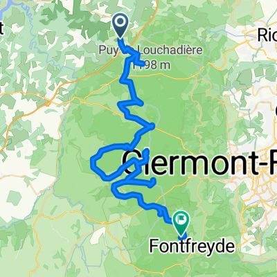
De D418, Chapdes-Beaufort à 9bis Rue de la Chartreuse, Chapdes-Beaufort
A cycling route starting in Chapdes-Beaufort, Auvergne-Rhône-Alpes, France.
Overview
About this route
- 13 min
- Duration
- 4.4 km
- Distance
- 131 m
- Ascent
- 64 m
- Descent
- 19.9 km/h
- Avg. speed
- ---
- Max. altitude

Route quality
Waytypes & surfaces along the route
Waytypes
Road
4.4 km
(100 %)
Surfaces
Paved
0.2 km
(5 %)
Asphalt
0.2 km
(5 %)
Undefined
4.2 km
(95 %)
Continue with Bikemap
Use, edit, or download this cycling route
You would like to ride De D418, Chapdes-Beaufort à 9bis Rue de la Chartreuse, Chapdes-Beaufort or customize it for your own trip? Here is what you can do with this Bikemap route:
Free features
- Save this route as favorite or in collections
- Copy & plan your own version of this route
- Sync your route with Garmin or Wahoo
Premium features
Free trial for 3 days, or one-time payment. More about Bikemap Premium.
- Navigate this route on iOS & Android
- Export a GPX / KML file of this route
- Create your custom printout (try it for free)
- Download this route for offline navigation
Discover more Premium features.
Get Bikemap PremiumFrom our community
Other popular routes starting in Chapdes-Beaufort
 De D418, Montfermy à D418, Chapdes-Beaufort
- Distance
- 2.6 km
- Ascent
- 142 m
- Descent
- 0 m
- Location
- Chapdes-Beaufort, Auvergne-Rhône-Alpes, France
 blanchet - la goutelle
- Distance
- 12.7 km
- Ascent
- 415 m
- Descent
- 518 m
- Location
- Chapdes-Beaufort, Auvergne-Rhône-Alpes, France
 Itinéraire vers D418, Chapdes-Beaufort
- Distance
- 3.3 km
- Ascent
- 165 m
- Descent
- 16 m
- Location
- Chapdes-Beaufort, Auvergne-Rhône-Alpes, France
 Chapdes-Beaufort via Trimoulet
- Distance
- 10.9 km
- Ascent
- 231 m
- Descent
- 232 m
- Location
- Chapdes-Beaufort, Auvergne-Rhône-Alpes, France
 Chapdes-Beaufort - Sant Genèst de Champanèla
- Distance
- 62 km
- Ascent
- 1,175 m
- Descent
- 1,126 m
- Location
- Chapdes-Beaufort, Auvergne-Rhône-Alpes, France
 De D418, Chapdes-Beaufort à D61, Chapdes-Beaufort
- Distance
- 4.6 km
- Ascent
- 45 m
- Descent
- 213 m
- Location
- Chapdes-Beaufort, Auvergne-Rhône-Alpes, France
 De 27 Rue de la Chartreuse, Chapdes-Beaufort à D418, Chapdes-Beaufort
- Distance
- 4.5 km
- Ascent
- 43 m
- Descent
- 122 m
- Location
- Chapdes-Beaufort, Auvergne-Rhône-Alpes, France
 Recovered Route
- Distance
- 6.5 km
- Ascent
- 81 m
- Descent
- 96 m
- Location
- Chapdes-Beaufort, Auvergne-Rhône-Alpes, France
Open it in the app