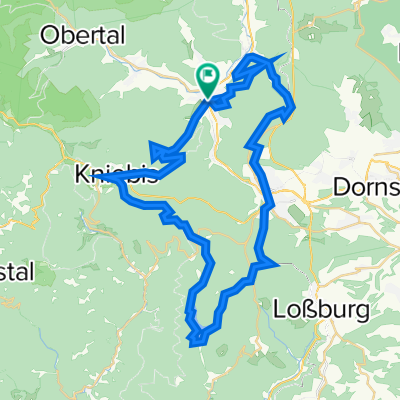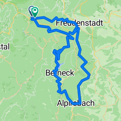
Route in Freudenstadt
- 65.8 km
- 2,258 m
- 2,297 m
- Baiersbronn, Baden-Wurttemberg, Germany
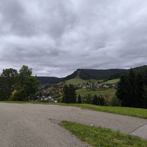
A cycling route starting in Baiersbronn, Baden-Wurttemberg, Germany.
Overview
Route quality
Road
18.3 km
(18 %)
Quiet road
12.2 km
(12 %)
Paved
87.6 km
(86 %)
Unpaved
3.1 km
(3 %)
Asphalt
85.5 km
(84 %)
Unpaved (undefined)
2 km
(2 %)
Continue with Bikemap
You would like to ride Rundfahrt Baiersbronn T2 or customize it for your own trip? Here is what you can do with this Bikemap route:
Free trial for 3 days, or one-time payment. More about Bikemap Premium.
Discover more Premium features.
Get Bikemap PremiumFrom our community
Open it in the app