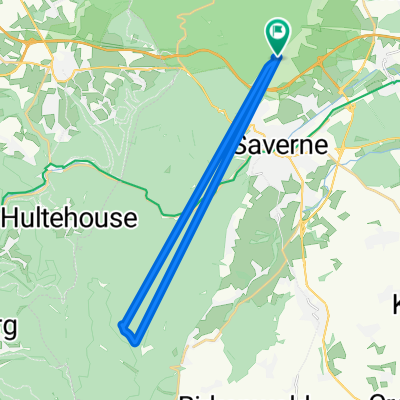
Recovered Route

A cycling route starting in Monswiller, Grand Est, France.
OverviewAbout this route
4 h 30 min
Duration
107.8 km
Distance
1,328 m
Ascent
1,323 m
Descent
23.9 km/h
Avg. speed
---
Max. altitude
Chenal eric created this 5 years ago
Route qualityWaytypes & surfaces along the route
Waytypes
  • Road

    51.7 km48 %
  • Cycleway

    10.8 km10 %
  • Quiet road

    9.7 km9 %
Surfaces

Paved

32.3 km(30 %)
  • Asphalt

    32.3 km30 %
  • Undefined

    75.4 km70 %
Continue with BikemapUse, edit, or download this cycling route
You would like to ride Recovered Route or customize it for your own trip? Here is what you can do with this Bikemap route:
Free features
Premium features

Free trial for 3 days, or one-time payment. More about Bikemap Premium.

  • Navigate this route on iOS & Android
  • Export a GPX / KML file of this route
  • Create your custom printout (try it for free)
  • Download this route for offline navigation

Discover more Premium features.

Get Bikemap Premium
From our communityOther popular routes starting in Monswiller

Open it in the app