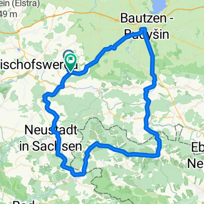
Dresdener Straße 4, Demitz-Thumitz Bautzen Frenzel Bräu nach Dresdener Straße 4, Demitz-Thumitz
A cycling route starting in Demitz-Thumitz, Saxony, Germany.
Overview
About this route
- 2 h 19 min
- Duration
- 40.4 km
- Distance
- 542 m
- Ascent
- 518 m
- Descent
- 17.4 km/h
- Avg. speed
- ---
- Max. altitude
Route photos
Route quality
Waytypes & surfaces along the route
Waytypes
Quiet road
13.3 km
(33 %)
Path
9.7 km
(24 %)
Surfaces
Paved
33.5 km
(83 %)
Asphalt
32.7 km
(81 %)
Paved (undefined)
0.8 km
(2 %)
Undefined
6.9 km
(17 %)
Continue with Bikemap
Use, edit, or download this cycling route
You would like to ride Dresdener Straße 4, Demitz-Thumitz Bautzen Frenzel Bräu nach Dresdener Straße 4, Demitz-Thumitz or customize it for your own trip? Here is what you can do with this Bikemap route:
Free features
- Save this route as favorite or in collections
- Copy & plan your own version of this route
- Sync your route with Garmin or Wahoo
Premium features
Free trial for 3 days, or one-time payment. More about Bikemap Premium.
- Navigate this route on iOS & Android
- Export a GPX / KML file of this route
- Create your custom printout (try it for free)
- Download this route for offline navigation
Discover more Premium features.
Get Bikemap PremiumFrom our community
Other popular routes starting in Demitz-Thumitz
Neuschmölln-Bautzen-Sohland-Sebnitz-Neuschmölln- Distance
- 80 km
- Ascent
- 833 m
- Descent
- 839 m
- Location
- Demitz-Thumitz, Saxony, Germany
Oberlausitzer Berglandtour- Distance
- 113.1 km
- Ascent
- 1,498 m
- Descent
- 1,499 m
- Location
- Demitz-Thumitz, Saxony, Germany
Trainingsrunde Schmölln-Neustadt- Distance
- 34.4 km
- Ascent
- 314 m
- Descent
- 305 m
- Location
- Demitz-Thumitz, Saxony, Germany
Dresdener Straße 4, Demitz-Thumitz Bautzen Frenzel Bräu nach Dresdener Straße 4, Demitz-Thumitz- Distance
- 40.4 km
- Ascent
- 542 m
- Descent
- 518 m
- Location
- Demitz-Thumitz, Saxony, Germany
MTB 2300 Hm "Oberlausitzer Kammtour"- Distance
- 67.1 km
- Ascent
- 1,363 m
- Descent
- 1,363 m
- Location
- Demitz-Thumitz, Saxony, Germany
MTB 2300 Hm "Oberlausitzer Kammtour"- Distance
- 67.1 km
- Ascent
- 1,409 m
- Descent
- 1,409 m
- Location
- Demitz-Thumitz, Saxony, Germany
Nuschmölln-Biw-Neukirch-Btz-Dreistern-Gaußig- Distance
- 43.8 km
- Ascent
- 285 m
- Descent
- 354 m
- Location
- Demitz-Thumitz, Saxony, Germany
Bastei-Hohnstein-Sebnitz-- Distance
- 77.3 km
- Ascent
- 878 m
- Descent
- 866 m
- Location
- Demitz-Thumitz, Saxony, Germany
Open it in the app


