

Kent Churces charity ride (Sept 2010)
A cycling route starting in Wye, England, United Kingdom.
Overview
About this route
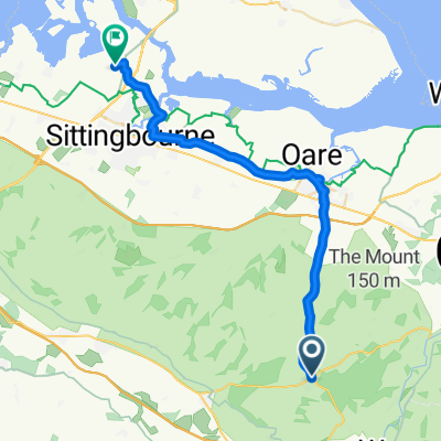
Route followed for the kent Churches charity ride on Saturday 11 September 2010. Starting at Wye, the route followsthe foot of the North Downs to Stanford then crosses to Lympne before a steep descent onto the Romney Marsh, where flat roads are greeted with strong winds. The route touches the coast in a couple of places before heading to OldRomney where it turns north, eventually making a steep ascent to Aldington Church then via Mersham and back to Smeeth. On the whole roads are very quiet.
- -:--
- Duration
- 85.2 km
- Distance
- 276 m
- Ascent
- 237 m
- Descent
- ---
- Avg. speed
- ---
- Max. altitude
Route quality
Waytypes & surfaces along the route
Waytypes
Quiet road
34.5 km
(40 %)
Road
31.7 km
(37 %)
Surfaces
Paved
41.1 km
(48 %)
Unpaved
0.4 km
(<1 %)
Asphalt
40.9 km
(48 %)
Unpaved (undefined)
0.4 km
(<1 %)
Continue with Bikemap
Use, edit, or download this cycling route
You would like to ride Kent Churces charity ride (Sept 2010) or customize it for your own trip? Here is what you can do with this Bikemap route:
Free features
- Save this route as favorite or in collections
- Copy & plan your own version of this route
- Split it into stages to create a multi-day tour
- Sync your route with Garmin or Wahoo
Premium features
Free trial for 3 days, or one-time payment. More about Bikemap Premium.
- Navigate this route on iOS & Android
- Export a GPX / KML file of this route
- Create your custom printout (try it for free)
- Download this route for offline navigation
Discover more Premium features.
Get Bikemap PremiumFrom our community
Other popular routes starting in Wye
 Kent Churces charity ride (Sept 2010)
- Distance
- 85.2 km
- Ascent
- 276 m
- Descent
- 237 m
- Location
- Wye, England, United Kingdom
 Short bike tour through Ashford
- Distance
- 8.5 km
- Ascent
- 73 m
- Descent
- 76 m
- Location
- Wye, England, United Kingdom
 King's Wood ( small loop)
- Distance
- 11.8 km
- Ascent
- 166 m
- Descent
- 199 m
- Location
- Wye, England, United Kingdom
 Crossways, Canterbury Road, Ashford to Holly Blue Drive, Sittingbourne
- Distance
- 28.8 km
- Ascent
- 28 m
- Descent
- 179 m
- Location
- Wye, England, United Kingdom
 Relaxed route in Ashford
- Distance
- 5.6 km
- Ascent
- 51 m
- Descent
- 64 m
- Location
- Wye, England, United Kingdom
 White Hill, Challock, Ashford to Hilltop, Buck St, Ashford
- Distance
- 6.4 km
- Ascent
- 161 m
- Descent
- 163 m
- Location
- Wye, England, United Kingdom
 Churchfield Way 28, Wye to Plum Pudding Island
- Distance
- 78.6 km
- Ascent
- 426 m
- Descent
- 509 m
- Location
- Wye, England, United Kingdom
 Wye Half Marathon Final 2023
- Distance
- 21.3 km
- Ascent
- 0 m
- Descent
- 0 m
- Location
- Wye, England, United Kingdom
Open it in the app