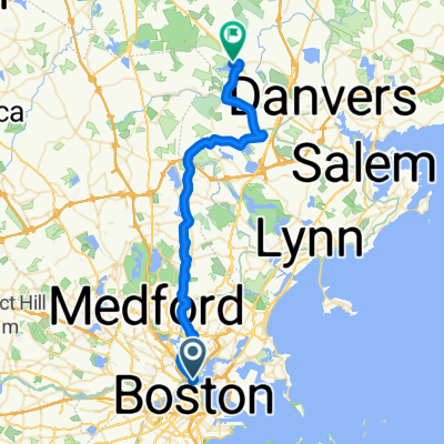
Route to 100 Pier 4 Blvd, Boston
A cycling route starting in Boston, Massachusetts, United States.
Overview
About this route
- 3 h 54 min
- Duration
- 31.3 km
- Distance
- 22 m
- Ascent
- 23 m
- Descent
- 8 km/h
- Avg. speed
- ---
- Max. altitude
Continue with Bikemap
Use, edit, or download this cycling route
You would like to ride Route to 100 Pier 4 Blvd, Boston or customize it for your own trip? Here is what you can do with this Bikemap route:
Free features
- Save this route as favorite or in collections
- Copy & plan your own version of this route
- Sync your route with Garmin or Wahoo
Premium features
Free trial for 3 days, or one-time payment. More about Bikemap Premium.
- Navigate this route on iOS & Android
- Export a GPX / KML file of this route
- Create your custom printout (try it for free)
- Download this route for offline navigation
Discover more Premium features.
Get Bikemap PremiumFrom our community
Other popular routes starting in Boston
tour boston2- Distance
- 17.2 km
- Ascent
- 123 m
- Descent
- 123 m
- Location
- Boston, Massachusetts, United States
Most Epic Loop- Distance
- 45.7 km
- Ascent
- 460 m
- Descent
- 452 m
- Location
- Boston, Massachusetts, United States
Boston to Wompatuck race to Braintree T- Distance
- 52.9 km
- Ascent
- 265 m
- Descent
- 248 m
- Location
- Boston, Massachusetts, United States
Charles Loop- Distance
- 54.7 km
- Ascent
- 336 m
- Descent
- 337 m
- Location
- Boston, Massachusetts, United States
Nagog Hill- Distance
- 110.9 km
- Ascent
- 298 m
- Descent
- 298 m
- Location
- Boston, Massachusetts, United States
Slow ride in Boston- Distance
- 8 km
- Ascent
- 3 m
- Descent
- 6 m
- Location
- Boston, Massachusetts, United States
East Coast Greenway, Boston to Salem- Distance
- 84 km
- Ascent
- 436 m
- Descent
- 455 m
- Location
- Boston, Massachusetts, United States
boston portland- Distance
- 209.1 km
- Ascent
- 1,129 m
- Descent
- 1,122 m
- Location
- Boston, Massachusetts, United States
Open it in the app

