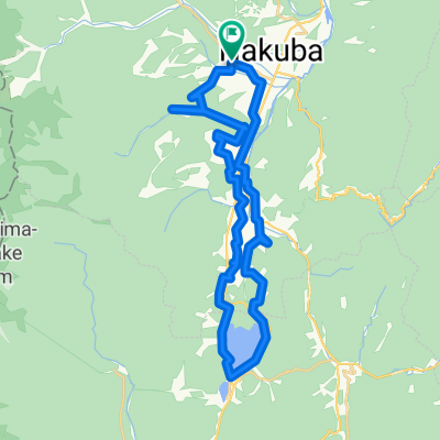
22385-2, Iida, Hakuba-Mura, Kitaazumi-Gun to 22200-84, Iida, Hakuba-Mura, Kitaazumi-Gun
A cycling route starting in Hakuba, Nagano, Japan.
Overview
About this route
- 1 h 13 min
- Duration
- 20.6 km
- Distance
- 319 m
- Ascent
- 331 m
- Descent
- 16.9 km/h
- Avg. speed
- ---
- Max. altitude
Route quality
Waytypes & surfaces along the route
Waytypes
Road
9.5 km
(46 %)
Cycleway
5.4 km
(26 %)
Surfaces
Paved
4.5 km
(22 %)
Paved (undefined)
4.5 km
(22 %)
Undefined
16.1 km
(78 %)
Continue with Bikemap
Use, edit, or download this cycling route
You would like to ride 22385-2, Iida, Hakuba-Mura, Kitaazumi-Gun to 22200-84, Iida, Hakuba-Mura, Kitaazumi-Gun or customize it for your own trip? Here is what you can do with this Bikemap route:
Free features
- Save this route as favorite or in collections
- Copy & plan your own version of this route
- Sync your route with Garmin or Wahoo
Premium features
Free trial for 3 days, or one-time payment. More about Bikemap Premium.
- Navigate this route on iOS & Android
- Export a GPX / KML file of this route
- Create your custom printout (try it for free)
- Download this route for offline navigation
Discover more Premium features.
Get Bikemap PremiumFrom our community
Other popular routes starting in Hakuba
- Rural Scene along the Hime River
- Distance
- 12.3 km
- Ascent
- 109 m
- Descent
- 109 m
- Location
- Hakuba, Nagano, Japan
- Tsugaike Scenic Route with Various Blooms
- Distance
- 23.2 km
- Ascent
- 381 m
- Descent
- 381 m
- Location
- Hakuba, Nagano, Japan
- 09-10-2013_Day07
- Distance
- 109.6 km
- Ascent
- 1,084 m
- Descent
- 1,754 m
- Location
- Hakuba, Nagano, Japan
- Hakuba's Best Scenic Spots Route
- Distance
- 27.3 km
- Ascent
- 314 m
- Descent
- 315 m
- Location
- Hakuba, Nagano, Japan
- Village Forest and Nishina three lakes
- Distance
- 40 km
- Ascent
- 858 m
- Descent
- 860 m
- Location
- Hakuba, Nagano, Japan
- 白馬駅コース
- Distance
- 10.1 km
- Ascent
- 90 m
- Descent
- 88 m
- Location
- Hakuba, Nagano, Japan
- Hakuba's Best Scenic Spots Route
- Distance
- 27.6 km
- Ascent
- 268 m
- Descent
- 268 m
- Location
- Hakuba, Nagano, Japan
- Tsugaike Scenic Route with Varius Bloom
- Distance
- 20.7 km
- Ascent
- 383 m
- Descent
- 384 m
- Location
- Hakuba, Nagano, Japan
Open it in the app