Route to 4 Windermere Pl, St. Louis
- 18 km
- 171 m
- 161 m
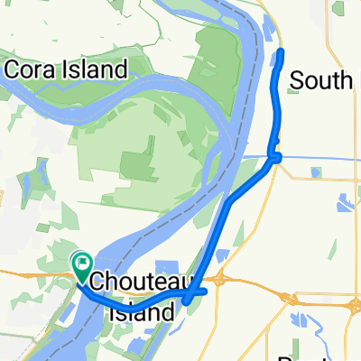
- Glasgow Village, Missouri, United States
Overview
Part 1 of a planned trip from St. Louis to Milwaukee via Galena, IL.
Start: St. Louis, Chain of Rocks Bridge (Mile 0)
Stop 1: Pere Marquette State Campground
Stop 2: John Hay Recreational Area, Hannibal
Stop 3: Nauvoo State Park
Stop 4: Buffalo Shores State Recreation Area
Stop 5: Mississippi Palisades State Park
Stop 6: Galena, IL
created this 5 years ago
Part of
STL-MKE
2 stages
Route quality
Road
127.1 km
(20 %)
Cycleway
120.7 km
(19 %)
Paved
152.5 km
(24 %)
Paved (undefined)
89 km
(14 %)
Asphalt
57.2 km
(9 %)
Continue with Bikemap
You would like to ride STL - MKE Part 1 or customize it for your own trip? Here is what you can do with this Bikemap route:
Free trial for 3 days, or one-time payment. More about Bikemap Premium.
Discover more Premium features.
Get Bikemap PremiumFrom our community
Open it in the app