

Vuelta a Pico Veleta
A cycling route starting in Granada, Andalusia, Spain.
Overview
About this route
The descent to the east might be unpaved! Needs to be checked.
- -:--
- Duration
- 154 km
- Distance
- 3,247 m
- Ascent
- 3,251 m
- Descent
- ---
- Avg. speed
- ---
- Max. altitude

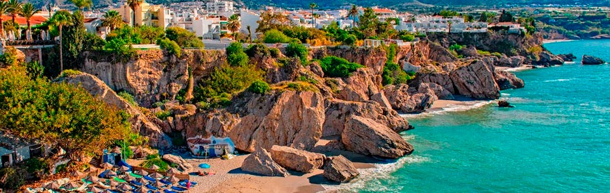
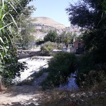
Route photos

Route quality
Waytypes & surfaces along the route
Waytypes
Road
37 km
(24 %)
Track
37 km
(24 %)
Surfaces
Paved
84.7 km
(55 %)
Unpaved
44.7 km
(29 %)
Asphalt
84.7 km
(55 %)
Gravel
32.3 km
(21 %)
Continue with Bikemap
Use, edit, or download this cycling route
You would like to ride Vuelta a Pico Veleta or customize it for your own trip? Here is what you can do with this Bikemap route:
Free features
- Save this route as favorite or in collections
- Copy & plan your own version of this route
- Split it into stages to create a multi-day tour
- Sync your route with Garmin or Wahoo
Premium features
Free trial for 3 days, or one-time payment. More about Bikemap Premium.
- Navigate this route on iOS & Android
- Export a GPX / KML file of this route
- Create your custom printout (try it for free)
- Download this route for offline navigation
Discover more Premium features.
Get Bikemap PremiumFrom our community
Other popular routes starting in Granada
 Granada - Malaga
- Distance
- 137.6 km
- Ascent
- 2,253 m
- Descent
- 2,930 m
- Location
- Granada, Andalusia, Spain
 purche (camino de los neveros)
- Distance
- 27.5 km
- Ascent
- 811 m
- Descent
- 810 m
- Location
- Granada, Andalusia, Spain
 GRANADA 3
- Distance
- 65.9 km
- Ascent
- 1,603 m
- Descent
- 1,594 m
- Location
- Granada, Andalusia, Spain
 Granada Vistas y Aquas
- Distance
- 26.5 km
- Ascent
- 518 m
- Descent
- 475 m
- Location
- Granada, Andalusia, Spain
 ALM1 Granada Alhama 2025
- Distance
- 71.5 km
- Ascent
- 1,481 m
- Descent
- 1,259 m
- Location
- Granada, Andalusia, Spain
 Bajada por el Beiro y subida por el Genil
- Distance
- 10.1 km
- Ascent
- 62 m
- Descent
- 64 m
- Location
- Granada, Andalusia, Spain
 Calle Joaquina Eguaras, Granada a Calle Gobernador Pedro Temboury, Granada
- Distance
- 19.3 km
- Ascent
- 117 m
- Descent
- 117 m
- Location
- Granada, Andalusia, Spain
 TRACK OFICIAL MOZARABE BIKE RACE 2021
- Distance
- 217.9 km
- Ascent
- 4,891 m
- Descent
- 5,645 m
- Location
- Granada, Andalusia, Spain
Open it in the app