Bodenseeroute 3 Tage
- 217.1 km
- 945 m
- 945 m
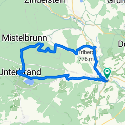
- Bräunlingen, Baden-Wurttemberg, Germany
A cycling route starting in Bräunlingen, Baden-Wurttemberg, Germany.
Overview
created this 5 years ago
Route quality
Track
15.9 km
(36 %)
Path
8.9 km
(20 %)
Paved
39.4 km
(89 %)
Unpaved
3.1 km
(7 %)
Asphalt
39 km
(88 %)
Pebblestone
2.7 km
(6 %)
Route highlights
Spitalplatz 8, Braunlingen, Germany.

Donau Quelle - a well which is considered the source of the Danube.
Continue with Bikemap
You would like to ride D2a Braunlingen near Donaueshingen to Tuttlingen or customize it for your own trip? Here is what you can do with this Bikemap route:
Free trial for 3 days, or one-time payment. More about Bikemap Premium.
Discover more Premium features.
Get Bikemap PremiumFrom our community
Open it in the app