

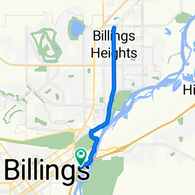
251 Wind Cave Cir, Billings to 261 Wind Cave Cir, Billings
A cycling route starting in Billings Metropolitan Area, Montana, United States.
Overview
About this route
- 42 min
- Duration
- 16.3 km
- Distance
- 35 m
- Ascent
- 39 m
- Descent
- 23.3 km/h
- Avg. speed
- ---
- Max. altitude

Route quality
Waytypes & surfaces along the route
Waytypes
Quiet road
5.7 km
(35 %)
Road
5.6 km
(34 %)
Surfaces
Paved
2.9 km
(18 %)
Unpaved
0.3 km
(2 %)
Asphalt
2.9 km
(18 %)
Ground
0.3 km
(2 %)
Undefined
13.1 km
(80 %)
Continue with Bikemap
Use, edit, or download this cycling route
You would like to ride 251 Wind Cave Cir, Billings to 261 Wind Cave Cir, Billings or customize it for your own trip? Here is what you can do with this Bikemap route:
Free features
- Save this route as favorite or in collections
- Copy & plan your own version of this route
- Sync your route with Garmin or Wahoo
Premium features
Free trial for 3 days, or one-time payment. More about Bikemap Premium.
- Navigate this route on iOS & Android
- Export a GPX / KML file of this route
- Create your custom printout (try it for free)
- Download this route for offline navigation
Discover more Premium features.
Get Bikemap PremiumFrom our community
Other popular routes starting in Billings Metropolitan Area
 Billings, MT to Salt Lake City, UT
- Distance
- 511.1 km
- Ascent
- 3,456 m
- Descent
- 2,656 m
- Location
- Billings Metropolitan Area, Montana, United States
 Christer’s house
- Distance
- 15.3 km
- Ascent
- 65 m
- Descent
- 65 m
- Location
- Billings Metropolitan Area, Montana, United States
 Day 19: Jim Dutcher Trail, Billings, MT
- Distance
- 13.7 km
- Ascent
- 69 m
- Descent
- 66 m
- Location
- Billings Metropolitan Area, Montana, United States
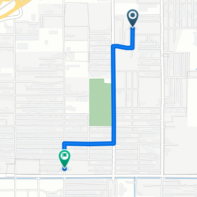 159 Viceroy St, Billings to 731 Orchard Ln, Billings
- Distance
- 1.7 km
- Ascent
- 4 m
- Descent
- 0 m
- Location
- Billings Metropolitan Area, Montana, United States
 251 Wind Cave Cir, Billings to 261 Wind Cave Cir, Billings
- Distance
- 16.3 km
- Ascent
- 35 m
- Descent
- 39 m
- Location
- Billings Metropolitan Area, Montana, United States
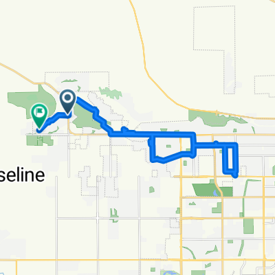 Western Bluffs Blvd, Billings to W Copper Ridge Loop, Billings
- Distance
- 23.2 km
- Ascent
- 145 m
- Descent
- 151 m
- Location
- Billings Metropolitan Area, Montana, United States
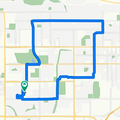
 10 mile 17th
- Distance
- 16.2 km
- Ascent
- 32 m
- Descent
- 31 m
- Location
- Billings Metropolitan Area, Montana, United States
 Billings to Fox Valley
- Distance
- 1,868.7 km
- Ascent
- 834 m
- Descent
- 1,678 m
- Location
- Billings Metropolitan Area, Montana, United States
Open it in the app