Stanser Joch Runde: Stans-Stanser Joch-Bärenbadalm-Pertisau-Stans
A cycling route starting in Buch bei Jenbach, Tyrol, Austria.
Overview
About this route
Stanser Joch Runde:
Start am Parkplatz Schloß Tratzberg. Rechts hinauf - auch durch wiesen und Wald. später folgt eine kurze Alspalt Straße Richtung Durach. Dann zum Stanser Niederleger (1355m) und über grobe Schotterstraße zum Stanser Hochleger (1961m). Dort Schiebepassage zum Stanser Joch (2105m). Wunderbare Aussicht ins Inntal, und zum Achensee. Rofan, Karawendel, Zillertaler Alpen ... alles! Super.
Dannach zurück und wieder Schiebepassage zum Weißenbachsattel. Trailtechnisch weiter zum zur Bärenbadalm. dann der Forststraße nach Pertisau folgen. Dem Achensee entlang, dann Richtung Maurach und Eben. von dort Richtung Jenbach eine tolle schnelle Abfahrt und zurück nach Stans.
- -:--
- Duration
- 35.1 km
- Distance
- 1,596 m
- Ascent
- 1,604 m
- Descent
- ---
- Avg. speed
- ---
- Max. altitude
Continue with Bikemap
Use, edit, or download this cycling route
You would like to ride Stanser Joch Runde: Stans-Stanser Joch-Bärenbadalm-Pertisau-Stans or customize it for your own trip? Here is what you can do with this Bikemap route:
Free features
- Save this route as favorite or in collections
- Copy & plan your own version of this route
- Sync your route with Garmin or Wahoo
Premium features
Free trial for 3 days, or one-time payment. More about Bikemap Premium.
- Navigate this route on iOS & Android
- Export a GPX / KML file of this route
- Create your custom printout (try it for free)
- Download this route for offline navigation
Discover more Premium features.
Get Bikemap PremiumFrom our community
Other popular routes starting in Buch bei Jenbach
 Jenbach - Nösslach (Tag 2)
- Distance
- 62.3 km
- Ascent
- 3,362 m
- Descent
- 2,540 m
- Location
- Buch bei Jenbach, Tyrol, Austria
 Buch 2b nach Reitbühel 180, Stans
- Distance
- 12.6 km
- Ascent
- 465 m
- Descent
- 145 m
- Location
- Buch bei Jenbach, Tyrol, Austria
 T02-Wiesing-Brenner
- Distance
- 85.7 km
- Ascent
- 1,668 m
- Descent
- 938 m
- Location
- Buch bei Jenbach, Tyrol, Austria
 S12_11
- Distance
- 4.6 km
- Ascent
- 53 m
- Descent
- 55 m
- Location
- Buch bei Jenbach, Tyrol, Austria
 Sankt Margarethen, Buch in Tirol nach Sankt Margarethen, Buch in Tirol
- Distance
- 153.8 km
- Ascent
- 839 m
- Descent
- 839 m
- Location
- Buch bei Jenbach, Tyrol, Austria
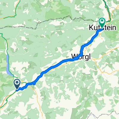
 Buch bei Jenbach - Kufstein
- Distance
- 47 km
- Ascent
- 137 m
- Descent
- 181 m
- Location
- Buch bei Jenbach, Tyrol, Austria
 Stanser Joch Runde: Stans-Stanser Joch-Bärenbadalm-Pertisau-Stans
- Distance
- 35.1 km
- Ascent
- 1,596 m
- Descent
- 1,604 m
- Location
- Buch bei Jenbach, Tyrol, Austria
 Georgenbergrunde
- Distance
- 27.5 km
- Ascent
- 476 m
- Descent
- 473 m
- Location
- Buch bei Jenbach, Tyrol, Austria
Open it in the app

