
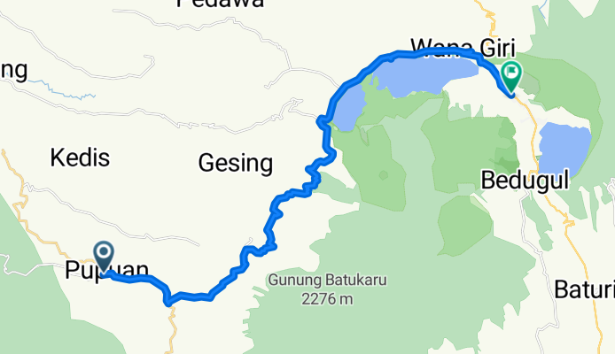
Pupuan to Bedugul
A cycling route starting in Bantiran, Bali, Indonesia.
Overview
About this route
On rural roads, some rough and not paved to Bedugul through clove plantation and forest.
- -:--
- Duration
- 28.8 km
- Distance
- 1,139 m
- Ascent
- 547 m
- Descent
- ---
- Avg. speed
- ---
- Max. altitude

Route quality
Waytypes & surfaces along the route
Waytypes
Road
17.9 km
(62 %)
Quiet road
4.3 km
(15 %)
Surfaces
Paved
20.7 km
(72 %)
Unpaved
4 km
(14 %)
Asphalt
19.6 km
(68 %)
Unpaved (undefined)
2.3 km
(8 %)
Continue with Bikemap
Use, edit, or download this cycling route
You would like to ride Pupuan to Bedugul or customize it for your own trip? Here is what you can do with this Bikemap route:
Free features
- Save this route as favorite or in collections
- Copy & plan your own version of this route
- Sync your route with Garmin or Wahoo
Premium features
Free trial for 3 days, or one-time payment. More about Bikemap Premium.
- Navigate this route on iOS & Android
- Export a GPX / KML file of this route
- Create your custom printout (try it for free)
- Download this route for offline navigation
Discover more Premium features.
Get Bikemap PremiumFrom our community
Other popular routes starting in Bantiran
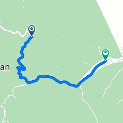 Jalan Pekutatan, Pupuan to Jalan Pekutatan, Pupuan
- Distance
- 2.5 km
- Ascent
- 2 m
- Descent
- 75 m
- Location
- Bantiran, Bali, Indonesia
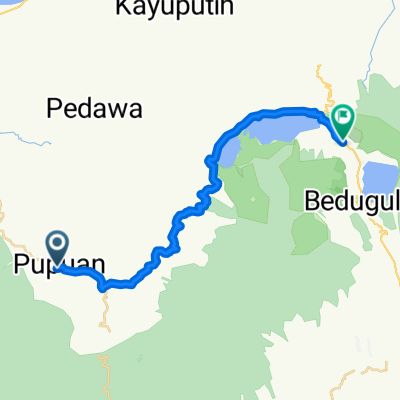 Pupuan to Bedugul
- Distance
- 28.8 km
- Ascent
- 1,139 m
- Descent
- 547 m
- Location
- Bantiran, Bali, Indonesia
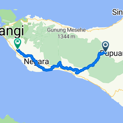 Bantiran - Negara
- Distance
- 84.1 km
- Ascent
- 1,086 m
- Descent
- 1,736 m
- Location
- Bantiran, Bali, Indonesia
Open it in the app