

Overview
About this route
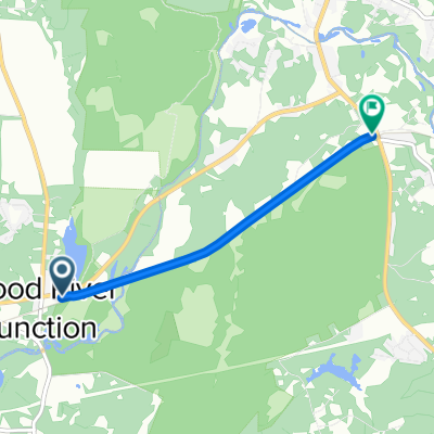
The wooded hills of South Western Rhode Island
- -:--
- Duration
- 71.4 km
- Distance
- 450 m
- Ascent
- 448 m
- Descent
- ---
- Avg. speed
- ---
- Max. altitude
Part of
Rhode Island
1 stage
Route quality
Waytypes & surfaces along the route
Waytypes
Road
30 km
(42 %)
Quiet road
23.6 km
(33 %)
Surfaces
Paved
35 km
(49 %)
Asphalt
17.9 km
(25 %)
Paved (undefined)
17.1 km
(24 %)
Undefined
36.4 km
(51 %)
Continue with Bikemap
Use, edit, or download this cycling route
You would like to ride Country Roads or customize it for your own trip? Here is what you can do with this Bikemap route:
Free features
- Save this route as favorite or in collections
- Copy & plan your own version of this route
- Sync your route with Garmin or Wahoo
Premium features
Free trial for 3 days, or one-time payment. More about Bikemap Premium.
- Navigate this route on iOS & Android
- Export a GPX / KML file of this route
- Create your custom printout (try it for free)
- Download this route for offline navigation
Discover more Premium features.
Get Bikemap PremiumFrom our community
Other popular routes starting in Bradford
 Moderate route in Bradford
- Distance
- 4.1 km
- Ascent
- 145 m
- Descent
- 107 m
- Location
- Bradford, Rhode Island, United States
 Burlingame State Park Road 1, Charlestown to Burlingame State Park Road 75, Charlestown
- Distance
- 27.9 km
- Ascent
- 99 m
- Descent
- 164 m
- Location
- Bradford, Rhode Island, United States
 32 Haversham Rd, Westerly to 14 Lighthouse Rd, Westerly
- Distance
- 12.1 km
- Ascent
- 35 m
- Descent
- 49 m
- Location
- Bradford, Rhode Island, United States
 451 Church St, Wood River Junction to 390 Carolina Back Rd, Charlestown
- Distance
- 3.3 km
- Ascent
- 20 m
- Descent
- 4 m
- Location
- Bradford, Rhode Island, United States
 1 Burlingame State Park Rd, Charlestown to Mark Twain’s House Hartford
- Distance
- 123.8 km
- Ascent
- 1,506 m
- Descent
- 1,511 m
- Location
- Bradford, Rhode Island, United States
 31 Robin Way, Westerly to 1146 Wolcott Ave, Beacon
- Distance
- 323.6 km
- Ascent
- 2,132 m
- Descent
- 2,134 m
- Location
- Bradford, Rhode Island, United States
 Day 2: Burlingame to Rocky Neck State Park
- Distance
- 59.8 km
- Ascent
- 397 m
- Descent
- 426 m
- Location
- Bradford, Rhode Island, United States
 1 Burlingame State Park Rd to Mystic Aquarium
- Distance
- 27.1 km
- Ascent
- 213 m
- Descent
- 236 m
- Location
- Bradford, Rhode Island, United States
Open it in the app