

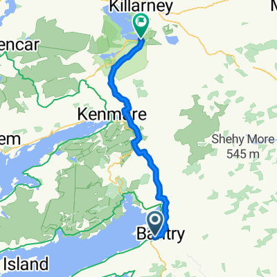
Irland 2007 - Tag 3 (Bantry - Castletownbere)
A cycling route starting in Bantry, Munster, Ireland.
Overview
About this route
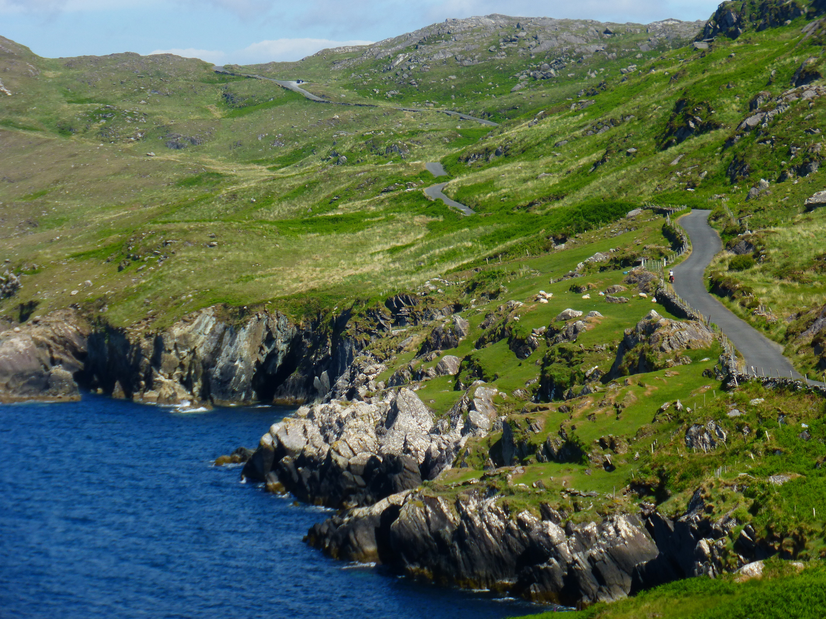
relatively flat, always along the coast from Bantry to Glengarriff. There, cross over to Garinish Island (Botanic Garden) past the seal rocks. Continue to Adrigole (a prize for whoever finds the 'place' - it actually only consists of an intersection and three houses). Continue to Castletownbere.
- -:--
- Duration
- 48.5 km
- Distance
- 421 m
- Ascent
- 409 m
- Descent
- ---
- Avg. speed
- 129 m
- Max. altitude
Route quality
Waytypes & surfaces along the route
Waytypes
Road
4.9 km
(10 %)
Track
1.9 km
(4 %)
Surfaces
Paved
39.8 km
(82 %)
Asphalt
21.3 km
(44 %)
Paved (undefined)
18.4 km
(38 %)
Undefined
8.7 km
(18 %)
Continue with Bikemap
Use, edit, or download this cycling route
You would like to ride Irland 2007 - Tag 3 (Bantry - Castletownbere) or customize it for your own trip? Here is what you can do with this Bikemap route:
Free features
- Save this route as favorite or in collections
- Copy & plan your own version of this route
- Sync your route with Garmin or Wahoo
Premium features
Free trial for 3 days, or one-time payment. More about Bikemap Premium.
- Navigate this route on iOS & Android
- Export a GPX / KML file of this route
- Create your custom printout (try it for free)
- Download this route for offline navigation
Discover more Premium features.
Get Bikemap PremiumFrom our community
Other popular routes starting in Bantry
 From Bantry to Muckross
- Distance
- 51 km
- Ascent
- 1,225 m
- Descent
- 1,187 m
- Location
- Bantry, Munster, Ireland
 Ireland Tour
- Distance
- 590.7 km
- Ascent
- 972 m
- Descent
- 976 m
- Location
- Bantry, Munster, Ireland
 Irland Tour 2 - Ring of Beara (kurz) CLONED FROM ROUTE 1439223
- Distance
- 101.8 km
- Ascent
- 480 m
- Descent
- 477 m
- Location
- Bantry, Munster, Ireland
 Tag 28: Westirland
- Distance
- 92.1 km
- Ascent
- 1,239 m
- Descent
- 1,223 m
- Location
- Bantry, Munster, Ireland
 Bantry
- Distance
- 49.7 km
- Ascent
- 594 m
- Descent
- 598 m
- Location
- Bantry, Munster, Ireland
Fenix3 Hr®
Castletownbere Cycling- Distance
- 72.2 km
- Ascent
- 851 m
- Descent
- 860 m
- Location
- Bantry, Munster, Ireland
 Glengarriff - Cork
- Distance
- 95.5 km
- Ascent
- 562 m
- Descent
- 572 m
- Location
- Bantry, Munster, Ireland
 Irland 2007 - Tag 3 (Bantry - Castletownbere)
- Distance
- 48.5 km
- Ascent
- 421 m
- Descent
- 409 m
- Location
- Bantry, Munster, Ireland
Open it in the app