Rua 19, Campinas a Rua 19, Campinas
- 10 km
- 118 m
- 119 m
- Indaiatuba, São Paulo, Brazil
A cycling route starting in Indaiatuba, São Paulo, Brazil.
Overview
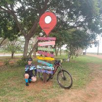
Route to Mirim Park
created this 5 years ago
Route quality
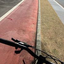
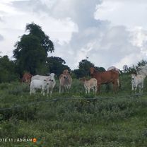
Road
8.9 km
(45 %)
Quiet road
6.3 km
(32 %)
Paved
6.1 km
(31 %)
Unpaved
2.4 km
(12 %)
Asphalt
5.7 km
(29 %)
Unpaved (undefined)
2.4 km
(12 %)
Route highlights
Hotel Passaledo
Hotel Santa Rita
Parque Ecológico (estacionamento, quiosque, WC)
Alimentação, WC
Conveniência
Polo Hotel Fazenda
Alimentação, WC, lazer
Hotel Fazenda

Parque do Mirim (Parque, quiosque alimentação, WC. estacionamento, ciclovia) entrada franca
Quiosque de alimentação, água de coco, WC
Continue with Bikemap
You would like to ride Indaiatuba/Parque do Mirim-Circuito das Frutas or customize it for your own trip? Here is what you can do with this Bikemap route:
Free trial for 3 days, or one-time payment. More about Bikemap Premium.
Discover more Premium features.
Get Bikemap PremiumFrom our community
Open it in the app