Okolo Schneebergu AT opravená
- 142 km
- 1,459 m
- 1,459 m
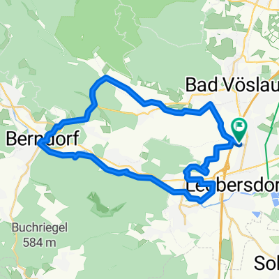
- Kottingbrunn, Lower Austria, Austria
A cycling route starting in Kottingbrunn, Lower Austria, Austria.
Overview
created this 5 years ago


Route quality
Quiet road
16.8 km
(38 %)
Cycleway
13.2 km
(30 %)
Paved
24.7 km
(56 %)
Unpaved
7.9 km
(18 %)
Asphalt
22.1 km
(50 %)
Gravel
5.7 km
(13 %)
Continue with Bikemap
You would like to ride Südl. NÖ Abendtour or customize it for your own trip? Here is what you can do with this Bikemap route:
Free trial for 3 days, or one-time payment. More about Bikemap Premium.
Discover more Premium features.
Get Bikemap PremiumFrom our community
Open it in the app