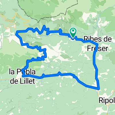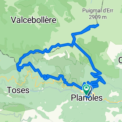
planoles-ventola-batet-vilamanya
- 16.6 km
- 673 m
- 486 m
- Planoles, Catalonia, Spain
A cycling route starting in Planoles, Catalonia, Spain.
Overview
Route that starts in Planoles and following the GR-11 takes us to Dorria, continues towards the Creu de Meians and then to Coma Morera. Crossing back and forth over the French border leads us to the Pas dels Lladres and to the ski lift at Err-Puigmal; we keep a bit flat, all while traversing, and finally the steep climb to the summit of Puigmal with the bike on our shoulder. The descent is on the same path back to the Pas dels Lladres, then follows a trail that turns into a path to the Collet de Barraques and finally follows the road to Planoles passing the Font Freda. A very beautiful route but also tough.
created this 15 years ago
Continue with Bikemap
You would like to ride Planoles-Puigmal-Planoles or customize it for your own trip? Here is what you can do with this Bikemap route:
Free trial for 3 days, or one-time payment. More about Bikemap Premium.
Discover more Premium features.
Get Bikemap PremiumFrom our community
Open it in the app