
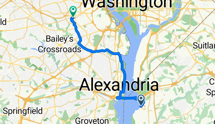
162 Waterfront St, Oxon Hill to 4238 Wilson Blvd, Arlington
A cycling route starting in Oxon Hill, Maryland, United States of America.
Overview
About this route
- 1 h 11 min
- Duration
- 20.7 km
- Distance
- 216 m
- Ascent
- 117 m
- Descent
- 17.5 km/h
- Avg. speed
- ---
- Max. altitude
Route quality
Waytypes & surfaces along the route
Waytypes
Cycleway
9.3 km
(45 %)
Busy road
4.1 km
(20 %)
Surfaces
Paved
20.1 km
(97 %)
Asphalt
14.7 km
(71 %)
Paved (undefined)
3.4 km
(16 %)
Continue with Bikemap
Use, edit, or download this cycling route
You would like to ride 162 Waterfront St, Oxon Hill to 4238 Wilson Blvd, Arlington or customize it for your own trip? Here is what you can do with this Bikemap route:
Free features
- Save this route as favorite or in collections
- Copy & plan your own version of this route
- Sync your route with Garmin or Wahoo
Premium features
Free trial for 3 days, or one-time payment. More about Bikemap Premium.
- Navigate this route on iOS & Android
- Export a GPX / KML file of this route
- Create your custom printout (try it for free)
- Download this route for offline navigation
Discover more Premium features.
Get Bikemap PremiumFrom our community
Other popular routes starting in Oxon Hill
 Recovered Route
- Distance
- 1.7 km
- Ascent
- 35 m
- Descent
- 6 m
- Location
- Oxon Hill, Maryland, United States of America
 Recovered Route
- Distance
- 16.6 km
- Ascent
- 80 m
- Descent
- 82 m
- Location
- Oxon Hill, Maryland, United States of America
 8107 Alcoa Dr, Fort Washington to 6513 Eaglewing Ln, Fort Washington
- Distance
- 3.6 km
- Ascent
- 60 m
- Descent
- 0 m
- Location
- Oxon Hill, Maryland, United States of America
 National Plaza 137, Oxon Hill to National Plaza 137, Oxon Hill
- Distance
- 82.4 km
- Ascent
- 1,260 m
- Descent
- 1,259 m
- Location
- Oxon Hill, Maryland, United States of America
 Waterfront St, Oxon Hill to 13505–13517 Ft Washington Rd, Fort Washington
- Distance
- 17.1 km
- Ascent
- 141 m
- Descent
- 115 m
- Location
- Oxon Hill, Maryland, United States of America
 Lengthy Afternoon Route In Oxon Hill
- Distance
- 14.2 km
- Ascent
- 48 m
- Descent
- 55 m
- Location
- Oxon Hill, Maryland, United States of America
 St George Blvd, Oxon Hill to 205 American Way, Oxon Hill
- Distance
- 14.5 km
- Ascent
- 133 m
- Descent
- 131 m
- Location
- Oxon Hill, Maryland, United States of America
 161 National Plaza, Oxon Hill to Anacostia Riverwalk Trail, Washington
- Distance
- 13 km
- Ascent
- 142 m
- Descent
- 141 m
- Location
- Oxon Hill, Maryland, United States of America
Open it in the app