

Hirschberg - Hammer Trail
A cycling route starting in Kreuth, Bavaria, Germany.
Overview
About this route
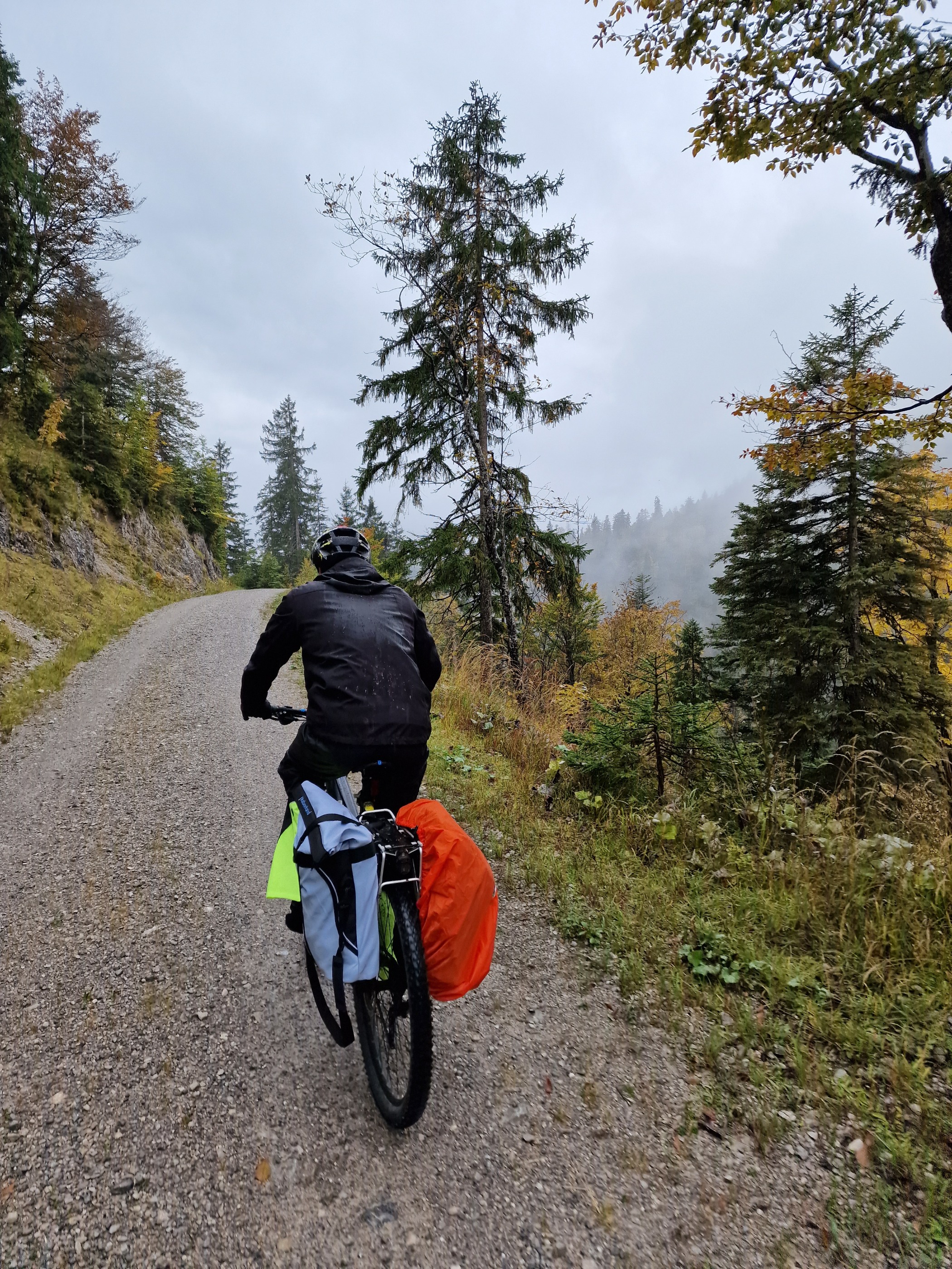
Start ist beim Wildbad Kreuth Wanderparkplatz. Wir kurbeln gemütlich zur Schwarzentennalm, von da aus weiter auf den Hirschberg. Auf 1.400 Metern dann der Einstieg in den Trail. Am Anfang, vor allem wenn wenn es die Tage vorher geregnet hat, sehr anspruchsvoller Trail. Dann aber ein super Waldtrail, alles fahrbar aber nicht nur easy aber immer schön. Schöne Warmup oder Cooldown Runde :-))
- -:--
- Duration
- 20.8 km
- Distance
- 704 m
- Ascent
- 705 m
- Descent
- ---
- Avg. speed
- ---
- Max. altitude

Continue with Bikemap
Use, edit, or download this cycling route
You would like to ride Hirschberg - Hammer Trail or customize it for your own trip? Here is what you can do with this Bikemap route:
Free features
- Save this route as favorite or in collections
- Copy & plan your own version of this route
- Sync your route with Garmin or Wahoo
Premium features
Free trial for 3 days, or one-time payment. More about Bikemap Premium.
- Navigate this route on iOS & Android
- Export a GPX / KML file of this route
- Create your custom printout (try it for free)
- Download this route for offline navigation
Discover more Premium features.
Get Bikemap PremiumFrom our community
Other popular routes starting in Kreuth
 Achensee und Inntal
- Distance
- 92.8 km
- Ascent
- 542 m
- Descent
- 803 m
- Location
- Kreuth, Bavaria, Germany
 Kreuth, Bauer in der Au, Schwaruentenn, Königsalm
- Distance
- 28.1 km
- Ascent
- 455 m
- Descent
- 429 m
- Location
- Kreuth, Bavaria, Germany
 Ausfahrt von Kreuth nach Tegernsee
- Distance
- 26.1 km
- Ascent
- 107 m
- Descent
- 216 m
- Location
- Kreuth, Bavaria, Germany
 Transalp Tegernsee - Gardasee
- Distance
- 350.6 km
- Ascent
- 7,795 m
- Descent
- 8,502 m
- Location
- Kreuth, Bavaria, Germany
 Schinder Umrundung kurz
- Distance
- 45.6 km
- Ascent
- 1,352 m
- Descent
- 1,352 m
- Location
- Kreuth, Bavaria, Germany
 Roehrloosalm_Lenggries
- Distance
- 9 km
- Ascent
- 115 m
- Descent
- 513 m
- Location
- Kreuth, Bavaria, Germany
 Transalp Tegernsee - Gardasee
- Distance
- 350.6 km
- Ascent
- 7,673 m
- Descent
- 8,380 m
- Location
- Kreuth, Bavaria, Germany
 Gufferthütte bis Achenkirchen
- Distance
- 15.8 km
- Ascent
- 447 m
- Descent
- 986 m
- Location
- Kreuth, Bavaria, Germany
Open it in the app