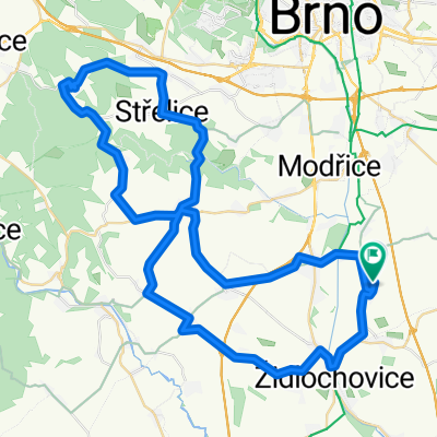
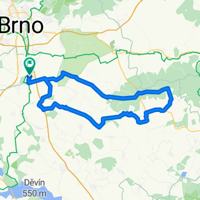
sobotní pohodička trochu kopců navíc
- 91.6 km
- 670 m
- 671 m
- Rajhradice, South Moravian, Czechia
A cycling route starting in Rajhradice, South Moravian, Czechia.
Overview
Route quality
Road
33.6 km
(51 %)
Track
9.2 km
(14 %)
Paved
57.9 km
(88 %)
Unpaved
5.9 km
(9 %)
Asphalt
56.6 km
(86 %)
Ground
3.9 km
(6 %)
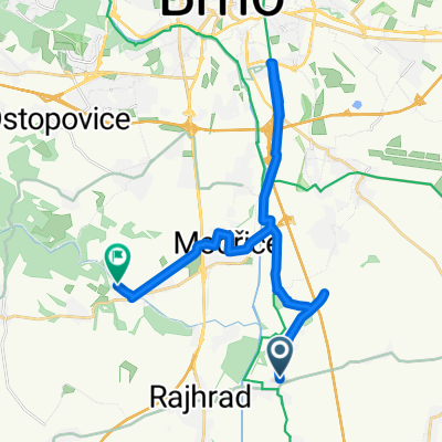
Route highlights
odbočka na cyklostezku souběžně s trasou
výjezd z cyklostezky
Continue with Bikemap
You would like to ride mariánské údolí z Rajhradic or customize it for your own trip? Here is what you can do with this Bikemap route:
Free trial for 3 days, or one-time payment. More about Bikemap Premium.
Discover more Premium features.
Get Bikemap PremiumFrom our community
Open it in the app