

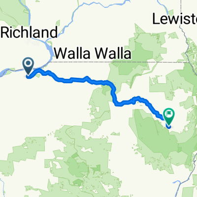
South Highway 395 1150, Hermiston to McNary Wildlife Area Trail, Umatilla
A cycling route starting in Hermiston, Oregon, United States.
Overview
About this route
- 1 h 31 min
- Duration
- 14.2 km
- Distance
- 49 m
- Ascent
- 114 m
- Descent
- 9.4 km/h
- Avg. speed
- ---
- Max. altitude

Route quality
Waytypes & surfaces along the route
Waytypes
Quiet road
9.2 km
(65 %)
Road
3.9 km
(27 %)
Continue with Bikemap
Use, edit, or download this cycling route
You would like to ride South Highway 395 1150, Hermiston to McNary Wildlife Area Trail, Umatilla or customize it for your own trip? Here is what you can do with this Bikemap route:
Free features
- Save this route as favorite or in collections
- Copy & plan your own version of this route
- Sync your route with Garmin or Wahoo
Premium features
Free trial for 3 days, or one-time payment. More about Bikemap Premium.
- Navigate this route on iOS & Android
- Export a GPX / KML file of this route
- Create your custom printout (try it for free)
- Download this route for offline navigation
Discover more Premium features.
Get Bikemap PremiumFrom our community
Other popular routes starting in Hermiston
 Hermiston to Boardman (nearly) and Back
- Distance
- 39.9 km
- Ascent
- 120 m
- Descent
- 138 m
- Location
- Hermiston, Oregon, United States
 Eastern Hermiston Loop
- Distance
- 35 km
- Ascent
- 86 m
- Descent
- 81 m
- Location
- Hermiston, Oregon, United States
 Hermiston - Umatilla - Irrigon - I84 - Hermiston
- Distance
- 73.2 km
- Ascent
- 178 m
- Descent
- 176 m
- Location
- Hermiston, Oregon, United States
 little butter crrek
- Distance
- 65.3 km
- Ascent
- 290 m
- Descent
- 261 m
- Location
- Hermiston, Oregon, United States
 Double Hill 60k Hermiston-Umatilla Loop
- Distance
- 60.5 km
- Ascent
- 331 m
- Descent
- 330 m
- Location
- Hermiston, Oregon, United States
 Hermiston to Rt-32 Hill and Back
- Distance
- 20.9 km
- Ascent
- 57 m
- Descent
- 29 m
- Location
- Hermiston, Oregon, United States
 Hermiston - Umatilla - Hermiston Loop
- Distance
- 42.4 km
- Ascent
- 154 m
- Descent
- 154 m
- Location
- Hermiston, Oregon, United States
 Touring from Hermiston to Lake Wallowa
- Distance
- 231.7 km
- Ascent
- 2,331 m
- Descent
- 1,119 m
- Location
- Hermiston, Oregon, United States
Open it in the app