
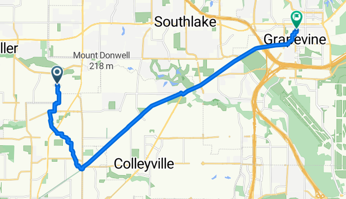
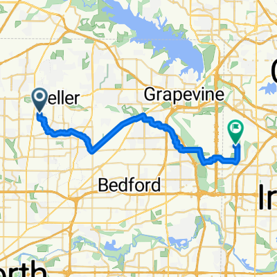
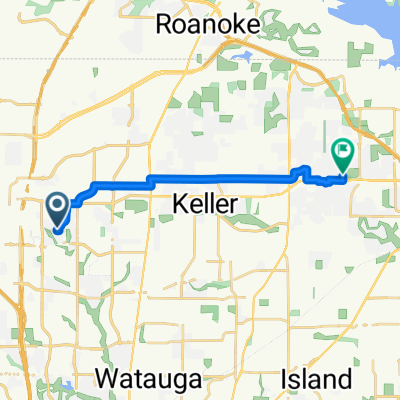
brew & batter grapevine tx
A cycling route starting in Keller, Texas, United States.
Overview
About this route
- -:--
- Duration
- 18.4 km
- Distance
- 51 m
- Ascent
- 63 m
- Descent
- ---
- Avg. speed
- ---
- Max. altitude

Route quality
Waytypes & surfaces along the route
Waytypes
Cycleway
13.6 km
(74 %)
Quiet road
4.1 km
(22 %)
Surfaces
Paved
13.4 km
(73 %)
Concrete
12.9 km
(70 %)
Asphalt
0.6 km
(3 %)
Undefined
5 km
(27 %)
Continue with Bikemap
Use, edit, or download this cycling route
You would like to ride brew & batter grapevine tx or customize it for your own trip? Here is what you can do with this Bikemap route:
Free features
- Save this route as favorite or in collections
- Copy & plan your own version of this route
- Sync your route with Garmin or Wahoo
Premium features
Free trial for 3 days, or one-time payment. More about Bikemap Premium.
- Navigate this route on iOS & Android
- Export a GPX / KML file of this route
- Create your custom printout (try it for free)
- Download this route for offline navigation
Discover more Premium features.
Get Bikemap PremiumFrom our community
Other popular routes starting in Keller
 16K Keller to Colleyville
- Distance
- 16.8 km
- Ascent
- 39 m
- Descent
- 95 m
- Location
- Keller, Texas, United States
 Marshall Ridge to Bear Creek Park
- Distance
- 15.5 km
- Ascent
- 74 m
- Descent
- 71 m
- Location
- Keller, Texas, United States
 Shady Lane North to East 28th Street
- Distance
- 35.3 km
- Ascent
- 117 m
- Descent
- 174 m
- Location
- Keller, Texas, United States
 ride through Fort Worth
- Distance
- 13.4 km
- Ascent
- 26 m
- Descent
- 29 m
- Location
- Keller, Texas, United States
 Keller Loop
- Distance
- 32.4 km
- Ascent
- 174 m
- Descent
- 174 m
- Location
- Keller, Texas, United States
 brew & batter grapevine tx
- Distance
- 18.4 km
- Ascent
- 51 m
- Descent
- 63 m
- Location
- Keller, Texas, United States
 1401–1425 Carriage Ln, Keller to 605 Cottonwood Trail, Keller
- Distance
- 27.2 km
- Ascent
- 130 m
- Descent
- 130 m
- Location
- Keller, Texas, United States
 Chadbourne Road 9909, Fort Worth to Shady Oaks Drive 315, Southlake
- Distance
- 16.3 km
- Ascent
- 117 m
- Descent
- 146 m
- Location
- Keller, Texas, United States
Open it in the app