

Lützelsdorf+Feuerstein-Climb
A cycling route starting in Kirchehrenbach, Bavaria, Germany.
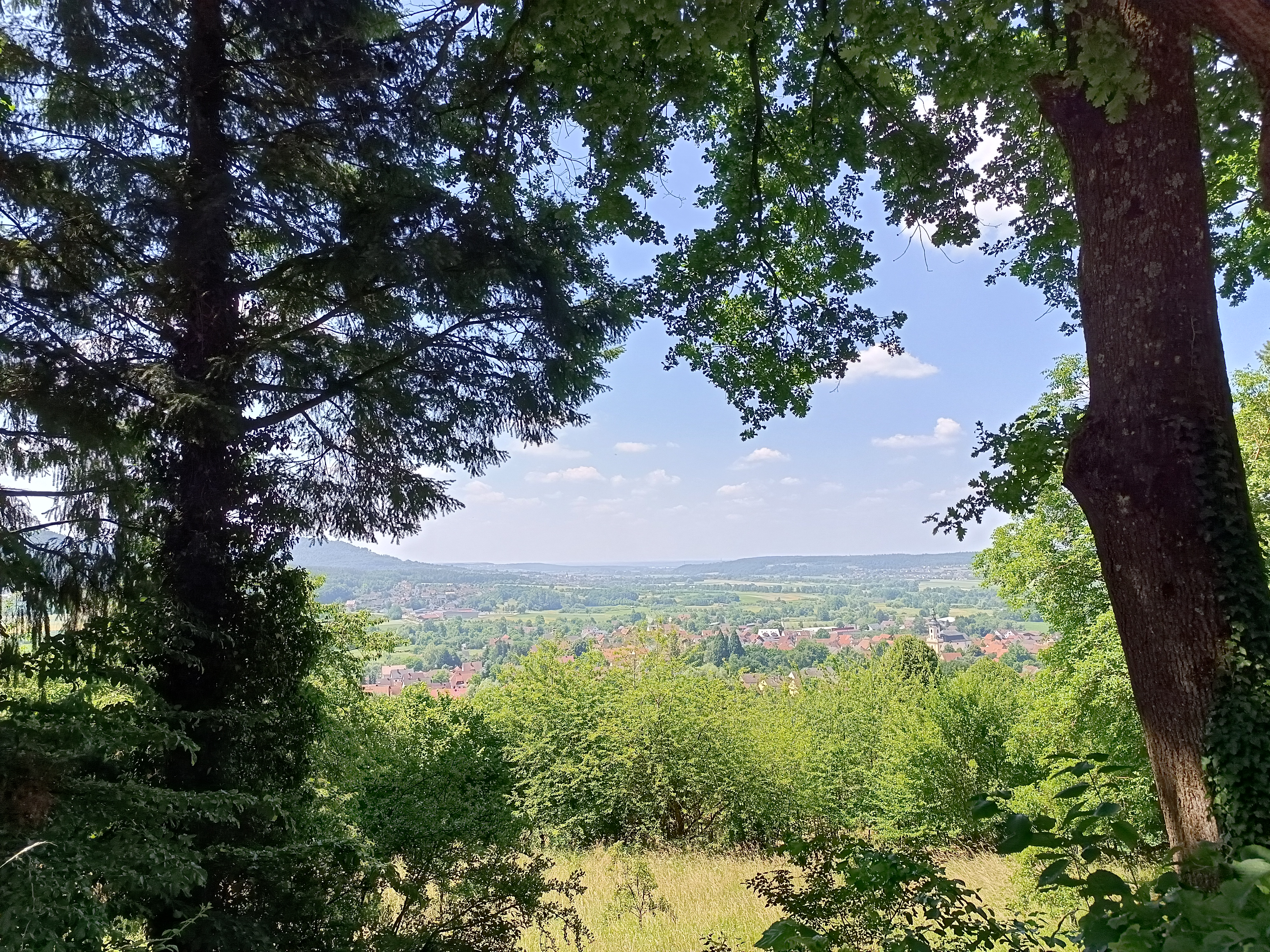
Overview
About this route
Kirchehrenbach-Hagenbach-Birkenreuth-Ebermannstadt-Feuerstein-Rettern-Weilersbach-Kirchehrenbach
- -:--
- Duration
- 36 km
- Distance
- 544 m
- Ascent
- 544 m
- Descent
- ---
- Avg. speed
- ---
- Avg. speed

Route quality
Waytypes & surfaces along the route
Waytypes
Track
19.1 km
(53 %)
Road
10 km
(28 %)
Surfaces
Paved
16.5 km
(46 %)
Unpaved
15.7 km
(43 %)
Asphalt
14.5 km
(40 %)
Gravel
11.8 km
(33 %)
Continue with Bikemap
Use, edit, or download this cycling route
You would like to ride Lützelsdorf+Feuerstein-Climb or customize it for your own trip? Here is what you can do with this Bikemap route:
Free features
- Save this route as favorite or in collections
- Copy & plan your own version of this route
- Sync your route with Garmin or Wahoo
Premium features
Free trial for 3 days, or one-time payment. More about Bikemap Premium.
- Navigate this route on iOS & Android
- Export a GPX / KML file of this route
- Create your custom printout (try it for free)
- Download this route for offline navigation
Discover more Premium features.
Get Bikemap PremiumFrom our community
Other popular routes starting in Kirchehrenbach
 FO2, Kirchehrenbach nach FO11, Weilersbach
- Distance
- 11.4 km
- Ascent
- 380 m
- Descent
- 374 m
- Location
- Kirchehrenbach, Bavaria, Germany
 Wichsenstein
- Distance
- 46.3 km
- Ascent
- 672 m
- Descent
- 672 m
- Location
- Kirchehrenbach, Bavaria, Germany
 Pinzberg-Kersbach
- Distance
- 19.9 km
- Ascent
- 178 m
- Descent
- 218 m
- Location
- Kirchehrenbach, Bavaria, Germany
 Radrunde durch Kirchehrenbach
- Distance
- 16.2 km
- Ascent
- 477 m
- Descent
- 479 m
- Location
- Kirchehrenbach, Bavaria, Germany
 Kirchehrenbach Pretzfeld Ebermannstadt
- Distance
- 32 km
- Ascent
- 560 m
- Descent
- 604 m
- Location
- Kirchehrenbach, Bavaria, Germany
 Weilersbach_Reifenberg_RetternerKanzel
- Distance
- 17.8 km
- Ascent
- 410 m
- Descent
- 411 m
- Location
- Kirchehrenbach, Bavaria, Germany
 Kellerwald-Rundfahrt
- Distance
- 16.8 km
- Ascent
- 148 m
- Descent
- 151 m
- Location
- Kirchehrenbach, Bavaria, Germany
 Kirchehrenbach - Anstieg Weilersbach - Eggolsheim - Forchheim - Kirchehrenbach
- Distance
- 22.3 km
- Ascent
- 187 m
- Descent
- 187 m
- Location
- Kirchehrenbach, Bavaria, Germany
Open it in the app