

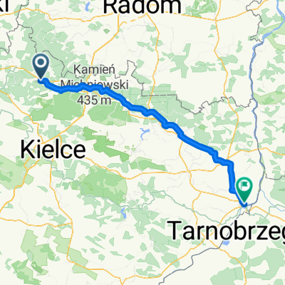
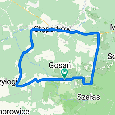
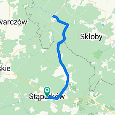
Cmentarna 8A, Niekłań Wielki do Cmentarna 8, Niekłań Wielki
A cycling route starting in Gmina Stąporków, Świętokrzyskie Voivodship, Poland.
Overview
About this route
- 3 h 33 min
- Duration
- 52.1 km
- Distance
- 436 m
- Ascent
- 439 m
- Descent
- 14.7 km/h
- Avg. speed
- ---
- Max. altitude

Route quality
Waytypes & surfaces along the route
Waytypes
Road
35.9 km
(69 %)
Quiet road
1 km
(2 %)
Undefined
15.1 km
(29 %)
Surfaces
Paved
30.2 km
(58 %)
Asphalt
30.2 km
(58 %)
Undefined
21.9 km
(42 %)
Continue with Bikemap
Use, edit, or download this cycling route
You would like to ride Cmentarna 8A, Niekłań Wielki do Cmentarna 8, Niekłań Wielki or customize it for your own trip? Here is what you can do with this Bikemap route:
Free features
- Save this route as favorite or in collections
- Copy & plan your own version of this route
- Sync your route with Garmin or Wahoo
Premium features
Free trial for 3 days, or one-time payment. More about Bikemap Premium.
- Navigate this route on iOS & Android
- Export a GPX / KML file of this route
- Create your custom printout (try it for free)
- Download this route for offline navigation
Discover more Premium features.
Get Bikemap PremiumFrom our community
Other popular routes starting in Gmina Stąporków
 Cmentarna 8A, Niekłań Wielki do Cmentarna 8, Niekłań Wielki
- Distance
- 52.1 km
- Ascent
- 436 m
- Descent
- 439 m
- Location
- Gmina Stąporków, Świętokrzyskie Voivodship, Poland
 góry świętokrzyskie 02
- Distance
- 54.4 km
- Ascent
- 339 m
- Descent
- 344 m
- Location
- Gmina Stąporków, Świętokrzyskie Voivodship, Poland
 Lasy za Stąporkowem
- Distance
- 102.8 km
- Ascent
- 474 m
- Descent
- 473 m
- Location
- Gmina Stąporków, Świętokrzyskie Voivodship, Poland
 Słowackiego 7, Stąporków do Zawichojska 1, Sandomierz
- Distance
- 121.8 km
- Ascent
- 950 m
- Descent
- 1,036 m
- Location
- Gmina Stąporków, Świętokrzyskie Voivodship, Poland
 Gustawów - Dąb Bartek - Mniów - Gustawów
- Distance
- 45 km
- Ascent
- 330 m
- Descent
- 329 m
- Location
- Gmina Stąporków, Świętokrzyskie Voivodship, Poland
 Gustawów - Odrowąż - Stąporków - Adamek - Gustawów
- Distance
- 37 km
- Ascent
- 337 m
- Descent
- 337 m
- Location
- Gmina Stąporków, Świętokrzyskie Voivodship, Poland
 ruski bród
- Distance
- 47.2 km
- Ascent
- 189 m
- Descent
- 189 m
- Location
- Gmina Stąporków, Świętokrzyskie Voivodship, Poland
 Józefa Piłsudskiego 130H, Stąporków to Józefa Piłsudskiego 130r, Stąporków
- Distance
- 10.1 km
- Ascent
- 103 m
- Descent
- 143 m
- Location
- Gmina Stąporków, Świętokrzyskie Voivodship, Poland
Open it in the app