SommAlmTour1-2011
- 23.9 km
- 340 m
- 336 m
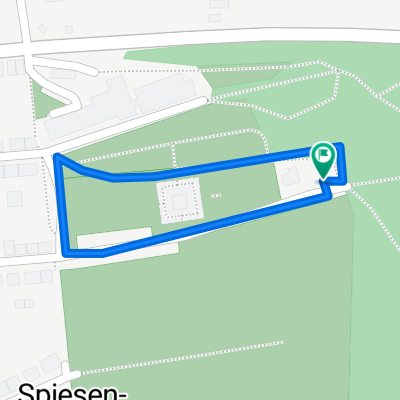
- Spiesen-Elversberg, Saarland, Germany
A cycling route starting in Spiesen-Elversberg, Saarland, Germany.
Overview
880m elevation gain
Start in Schüren - asphalt - small downhill - Ruhbach valley - steep uphill... - forest roads and single trails under the BAB A8 motorway - Friedrichstal - Bildstock - single trail to Sinnerthal - single trails and stairs (carry section) on Madenfelder Halde (wooden path and hut) - Gondwanaland - uphill to Reedener Halde (Sommeralm) - via Bildstock Maybacher Weg to Saufangweiher (hut open) - past Halde Maybach (single trail) to Klärweiher - through Altenwald via forest roads and single trails into Ruhbach valley - uphill towards 6Eichen - single trail downhill Schürer Weiher - single trail back - forest road to the parking lot
created this 15 years ago
Continue with Bikemap
You would like to ride Schüren - Halde Reeden - Saufangweiher or customize it for your own trip? Here is what you can do with this Bikemap route:
Free trial for 3 days, or one-time payment. More about Bikemap Premium.
Discover more Premium features.
Get Bikemap PremiumFrom our community
Open it in the app