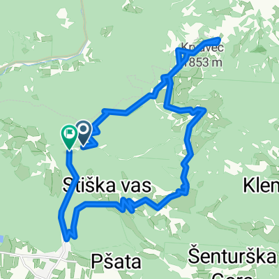
Od žičnice na krvavec
- 24.9 km
- 1,296 m
- 1,373 m
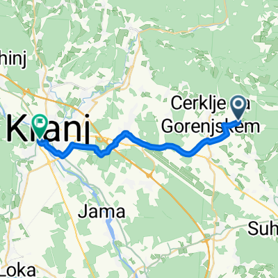
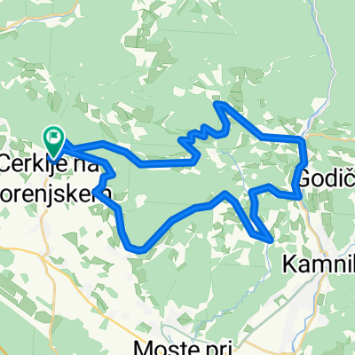
- Cerklje na Gorenjskem, Municipality of Cerklje na Gorenjskem, Slovenia
A cycling route starting in Cerklje na Gorenjskem, Municipality of Cerklje na Gorenjskem, Slovenia.
Overview
Challenging route over the Slovenian-Austrian saddles. You need to bring a stick :) According to Suunto, the route had 2025 m of elevation gain...
created this 15 years ago
Route quality
Road
14.8 km
(11 %)
Quiet road
5.4 km
(4 %)
Paved
72.8 km
(54 %)
Asphalt
72.8 km
(54 %)
Undefined
62 km
(46 %)
Continue with Bikemap
You would like to ride Okolo Grintovca:) or customize it for your own trip? Here is what you can do with this Bikemap route:
Free trial for 3 days, or one-time payment. More about Bikemap Premium.
Discover more Premium features.
Get Bikemap PremiumFrom our community
Open it in the app