Sächsische-Böhmische-Schweiz - Runde
- 42.5 km
- 394 m
- 394 m
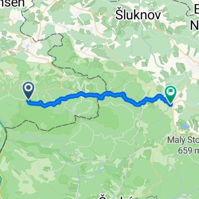
- Sebnitz, Saxony, Germany
A cycling route starting in Sebnitz, Saxony, Germany.
Overview
Schlußstück durch den Hohwald wird nur ungefähr der Richtung nach von der hier verzeichneten Route angedeutet. Dies ist aber nur der schlechten Sichtbarkeit des tatsächlichem Wegverlaufes auf den Luftbildern geschuldet. Verfahren kann man sich dort nicht...
created this 15 years ago
Route quality
Track
9.9 km
(65 %)
Quiet road
3 km
(20 %)
Paved
12.7 km
(83 %)
Unpaved
2.1 km
(14 %)
Asphalt
12.5 km
(82 %)
Gravel
1.7 km
(11 %)
Continue with Bikemap
You would like to ride Radweg Ulbersdorf-Hohwald or customize it for your own trip? Here is what you can do with this Bikemap route:
Free trial for 3 days, or one-time payment. More about Bikemap Premium.
Discover more Premium features.
Get Bikemap PremiumFrom our community
Open it in the app