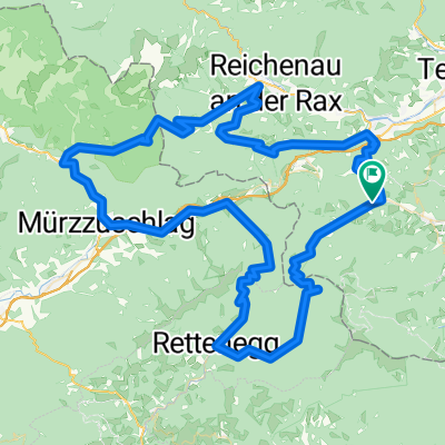
Otterthal -Gloggnitz-Kranichberg
A cycling route starting in Otterthal, Lower Austria, Austria.
Overview
About this route
- -:--
- Duration
- 26.6 km
- Distance
- 804 m
- Ascent
- 776 m
- Descent
- ---
- Avg. speed
- ---
- Max. altitude
Route photos
Continue with Bikemap
Use, edit, or download this cycling route
You would like to ride Otterthal -Gloggnitz-Kranichberg or customize it for your own trip? Here is what you can do with this Bikemap route:
Free features
- Save this route as favorite or in collections
- Copy & plan your own version of this route
- Sync your route with Garmin or Wahoo
Premium features
Free trial for 3 days, or one-time payment. More about Bikemap Premium.
- Navigate this route on iOS & Android
- Export a GPX / KML file of this route
- Create your custom printout (try it for free)
- Download this route for offline navigation
Discover more Premium features.
Get Bikemap PremiumFrom our community
Other popular routes starting in Otterthal
Otterthal 173 nach Steinhofen 4a, Höll- Distance
- 19.5 km
- Ascent
- 275 m
- Descent
- 308 m
- Location
- Otterthal, Lower Austria, Austria
otterthal-Untenberg-Reithofer-Aspang-Otterthal- Distance
- 35.7 km
- Ascent
- 770 m
- Descent
- 772 m
- Location
- Otterthal, Lower Austria, Austria
Otterthal 127 nach Otterthal 173- Distance
- 0.7 km
- Ascent
- 6 m
- Descent
- 17 m
- Location
- Otterthal, Lower Austria, Austria
Trattenbach 12, Anger nach Klammgasse 174, Gleißenfeld- Distance
- 31.6 km
- Ascent
- 386 m
- Descent
- 720 m
- Location
- Otterthal, Lower Austria, Austria
Otterthal 77 nach Rathausgasse 1, Neckenmarkt- Distance
- 70 km
- Ascent
- 977 m
- Descent
- 1,417 m
- Location
- Otterthal, Lower Austria, Austria
Otterthal 162 nach Otterthal 162- Distance
- 43.3 km
- Ascent
- 1,049 m
- Descent
- 1,059 m
- Location
- Otterthal, Lower Austria, Austria
Von Otterthal bei Gloggnitz bis Altneudörfl bei Bad Radkersburg- Distance
- 153.3 km
- Ascent
- 2,534 m
- Descent
- 2,951 m
- Location
- Otterthal, Lower Austria, Austria
Gemsen-Semmeringrunde CLONED FROM ROUTE 619188 CLONED FROM ROUTE 971790- Distance
- 109.5 km
- Ascent
- 2,149 m
- Descent
- 2,149 m
- Location
- Otterthal, Lower Austria, Austria
Open it in the app


