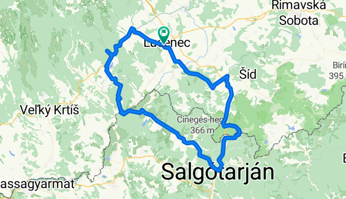
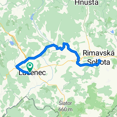
LC-Filakovo-Somoska-Luborec-Halic-LC
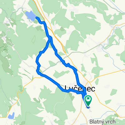
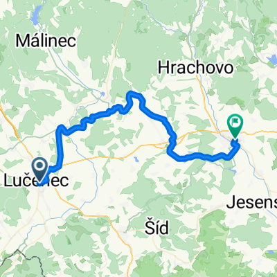
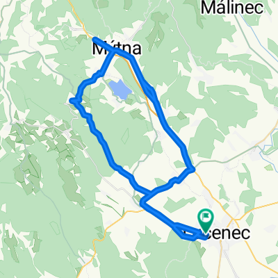
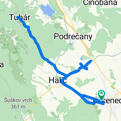
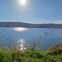
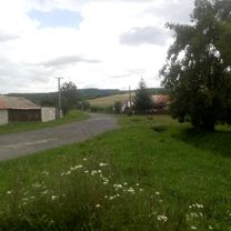
A cycling route starting in Lučenec, Banská Bystrica Region, Slovakia.
Overview
About this route
- 7 h 40 min
- Duration
- 107.5 km
- Distance
- 701 m
- Ascent
- 701 m
- Descent
- 14 km/h
- Avg. speed
- ---
- Max. altitude
Route photos
Route quality
Waytypes & surfaces along the route
Waytypes
Quiet road
20.4 km
(19 %)
Road
19.4 km
(18 %)
Surfaces
Paved
64.5 km
(60 %)
Unpaved
11.8 km
(11 %)
Asphalt
64.5 km
(60 %)
Gravel
5.4 km
(5 %)
Continue with Bikemap
Use, edit, or download this cycling route
You would like to ride LC-Filakovo-Somoska-Luborec-Halic-LC or customize it for your own trip? Here is what you can do with this Bikemap route:
Free features
- Save this route as favorite or in collections
- Copy & plan your own version of this route
- Split it into stages to create a multi-day tour
- Sync your route with Garmin or Wahoo
Premium features
Free trial for 3 days, or one-time payment. More about Bikemap Premium.
- Navigate this route on iOS & Android
- Export a GPX / KML file of this route
- Create your custom printout (try it for free)
- Download this route for offline navigation
Discover more Premium features.
Get Bikemap PremiumFrom our community
Other popular routes starting in Lučenec
- LC-Filakovo-Somoska-Luborec-Halic-LC
- Distance
- 107.5 km
- Ascent
- 701 m
- Descent
- 701 m
- Location
- Lučenec, Banská Bystrica Region, Slovakia
- Lučenec-Jelšovec-Dolná nad Ipľom-Lučenec
- Distance
- 20.9 km
- Ascent
- 500 m
- Descent
- 491 m
- Location
- Lučenec, Banská Bystrica Region, Slovakia
- Páriš cez Lovinku
- Distance
- 60.9 km
- Ascent
- 824 m
- Descent
- 824 m
- Location
- Lučenec, Banská Bystrica Region, Slovakia
- Okruh Rúbanisko III. Lučenec - Ľuboreč - Dolná Strehová - Trenč
- Distance
- 49.7 km
- Ascent
- 614 m
- Descent
- 658 m
- Location
- Lučenec, Banská Bystrica Region, Slovakia
- Lučenec- Tomášovce- St. Halič - Tuhár / rozhľadňa
- Distance
- 21.4 km
- Ascent
- 340 m
- Descent
- 70 m
- Location
- Lučenec, Banská Bystrica Region, Slovakia
- 3. nap - 3. nap_3. nap
- Distance
- 46.3 km
- Ascent
- 431 m
- Descent
- 388 m
- Location
- Lučenec, Banská Bystrica Region, Slovakia
- Mestská pustatina, Lučenec do Slepá 3
- Distance
- 19 km
- Ascent
- 179 m
- Descent
- 194 m
- Location
- Lučenec, Banská Bystrica Region, Slovakia
- Lučenec-Vidiná- Cinobaňa -Málinec v.n.
- Distance
- 28 km
- Ascent
- 1,852 m
- Descent
- 1,629 m
- Location
- Lučenec, Banská Bystrica Region, Slovakia
Open it in the app