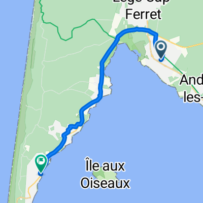
Rue du Garguehos, Arès nach Rue Ste Catherine, Lège-Cap-Ferret
- 16.6 km
- 36 m
- 46 m
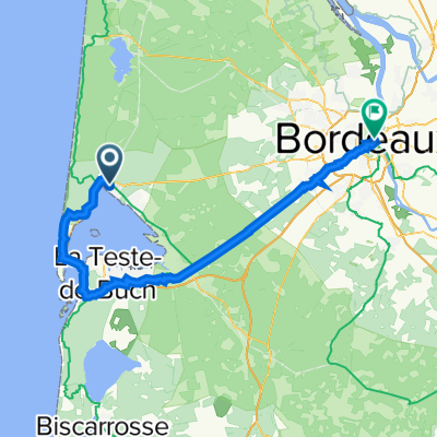
- Arès, Nouvelle-Aquitaine, France


Quiet road
11.9 km32 %Cycleway
10 km27 %Paved
29.7 km(80 %)Unpaved
1.1 km(3 %)Asphalt
29.7 km80 %Gravel
0.4 km1 %Free trial for 3 days, or one-time payment. More about Bikemap Premium.
Discover more Premium features.
Get Bikemap PremiumOpen it in the app