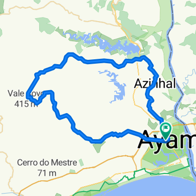
Alcoutim
- 19.7 km
- 228 m
- 294 m
- Castro Marim, Faro District, Portugal
A cycling route starting in Castro Marim, Faro District, Portugal.
Overview
Start and end of the route – Castro Marim – next to the Castro Marim town hall
Difficulty level – Intermediate
Duration – Approximately 3 hours at an average of about 12.5 km/h
Altitude gain – 490 m ascent
GPS coordinates: 37.21741, -7.44338
Distance: 37.3 km
Starting from Castro Marim towards the north of the municipality, ride a challenging but very beautiful route. At Cerro do Enho, take the opportunity to enjoy the 360° view over the eastern Algarve. Descend to the Beliche dam and continue along Portela Alta de Cima. You will glimpse the imposing Beliche dam, then follow the old EN122 which passes the typical village of Azinhal. Before reaching Castro Marim you will also encounter the localities of Junqueira and Monte Francisco.
created this 5 years ago
Route quality
Road
17.5 km
(47 %)
Quiet road
4.8 km
(13 %)
Undefined
14.9 km
(40 %)
Paved
11.2 km
(30 %)
Asphalt
11.2 km
(30 %)
Undefined
26.1 km
(70 %)
Continue with Bikemap
You would like to ride Sustentur Castro Marim Touring Tour or customize it for your own trip? Here is what you can do with this Bikemap route:
Free trial for 3 days, or one-time payment. More about Bikemap Premium.
Discover more Premium features.
Get Bikemap PremiumFrom our community
Open it in the app