- 9.3 km
- 74 m
- 87 m
- Stařeč, Kraj Vysočina, Czechia
Krahulov - Želetava přes Mařenku
A cycling route starting in Stařeč, Kraj Vysočina, Czechia.
Overview
About this route
From Třebíč-Boroviny by road to the forest behind Římov, where there is a turnoff to a forest path along the Dašovský stream. Beyond the Pančák pond, the path begins to climb to the summit of Mařenka. At 711 m, it is the highest peak in the Třebíč district. On the wooded hill stands a 4-meter-high concrete pylon, originally intended for trigonometrical purposes. This is followed by a pleasant glide through meadows to Bítovánek and then straight to Želetava. After refreshing with a beer, it is possible to admire on the square next to the school a remarkable builder's statue of a worker with a crankshaft on his shoulder, accompanied by a peasant girl.
- -:--
- Duration
- 41.8 km
- Distance
- 456 m
- Ascent
- 456 m
- Descent
- ---
- Avg. speed
- ---
- Max. altitude
created this 15 years ago
Route highlights
Points of interest along the route

Point of interest after 15.6 km
Mařenka - 711m

Point of interest after 21.3 km
budovatelská socha
Continue with Bikemap
Use, edit, or download this cycling route
You would like to ride Krahulov - Želetava přes Mařenku or customize it for your own trip? Here is what you can do with this Bikemap route:
Free features
- Save this route as favorite or in collections
- Copy & plan your own version of this route
- Sync your route with Garmin or Wahoo
Premium features
Free trial for 3 days, or one-time payment. More about Bikemap Premium.
- Navigate this route on iOS & Android
- Export a GPX / KML file of this route
- Create your custom printout (try it for free)
- Download this route for offline navigation
Discover more Premium features.
Get Bikemap PremiumFrom our community
Other popular routes starting in Stařeč
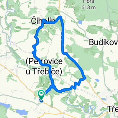
- Silnice 36064, Třebíč do Dolní Vilémovice, Dolní Vilémovice
- Krahulov - Kobylí hlava
- 16.6 km
- 229 m
- 229 m
- Stařeč, Kraj Vysočina, Czechia
- Stařeč, Krahulov, Steklák, Stařeč
- 14.4 km
- 113 m
- 113 m
- Stařeč, Kraj Vysočina, Czechia
- test
- 18.6 km
- 320 m
- 319 m
- Stařeč, Kraj Vysočina, Czechia
- Za burčákem na Sádek
- 25.9 km
- 358 m
- 379 m
- Stařeč, Kraj Vysočina, Czechia
- Třebíč - Bítov (rozhledna u Rumburaku) -Třebíč
- 92.8 km
- 625 m
- 612 m
- Stařeč, Kraj Vysočina, Czechia
- Okružní 893/10, Třebíč nach Kojetice 169, Kojetice
- 9.4 km
- 206 m
- 122 m
- Stařeč, Kraj Vysočina, Czechia
- Krahulov - Jihlava nádraží
- 36.6 km
- 325 m
- 307 m
- Stařeč, Kraj Vysočina, Czechia
Open it in the app


