

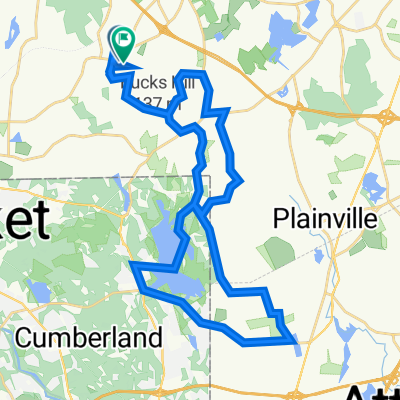
Chestnut Street 380, Wrentham to Chestnut Street 400, Wrentham
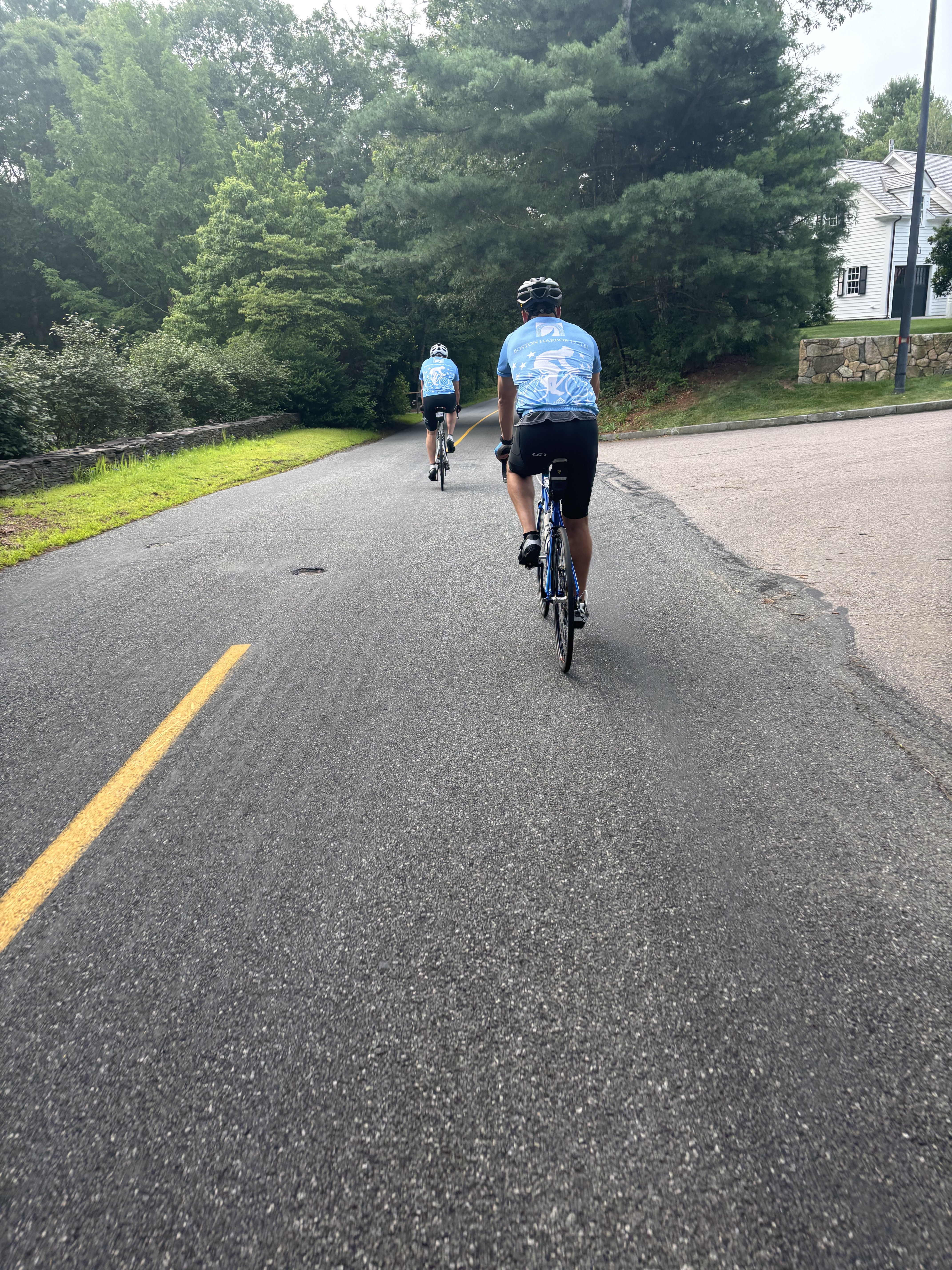
A cycling route starting in Franklin, Massachusetts, United States.
Overview
About this route
- 1 h 28 min
- Duration
- 36.2 km
- Distance
- 278 m
- Ascent
- 284 m
- Descent
- 24.8 km/h
- Avg. speed
- ---
- Max. altitude

Route quality
Waytypes & surfaces along the route
Waytypes
Road
17.7 km
(49 %)
Quiet road
4.7 km
(13 %)
Surfaces
Paved
22.5 km
(62 %)
Asphalt
19.6 km
(54 %)
Paved (undefined)
2.9 km
(8 %)
Undefined
13.8 km
(38 %)
Continue with Bikemap
Use, edit, or download this cycling route
You would like to ride Chestnut Street 380, Wrentham to Chestnut Street 400, Wrentham or customize it for your own trip? Here is what you can do with this Bikemap route:
Free features
- Save this route as favorite or in collections
- Copy & plan your own version of this route
- Sync your route with Garmin or Wahoo
Premium features
Free trial for 3 days, or one-time payment. More about Bikemap Premium.
- Navigate this route on iOS & Android
- Export a GPX / KML file of this route
- Create your custom printout (try it for free)
- Download this route for offline navigation
Discover more Premium features.
Get Bikemap PremiumFrom our community
Other popular routes starting in Franklin
 Opal Cir, Franklin to Opal Cir, Franklin
- Distance
- 29.6 km
- Ascent
- 266 m
- Descent
- 271 m
- Location
- Franklin, Massachusetts, United States
 phat tuesday 5.09
- Distance
- 40.9 km
- Ascent
- 230 m
- Descent
- 196 m
- Location
- Franklin, Massachusetts, United States
 Franklin/Wrentham Test
- Distance
- 30.4 km
- Ascent
- 234 m
- Descent
- 234 m
- Location
- Franklin, Massachusetts, United States
 Home - Tower - Work
- Distance
- 64.4 km
- Ascent
- 318 m
- Descent
- 428 m
- Location
- Franklin, Massachusetts, United States
 Hambone Farm Road 16, Franklin to Washington Street 628, Franklin
- Distance
- 40.9 km
- Ascent
- 241 m
- Descent
- 199 m
- Location
- Franklin, Massachusetts, United States
 Franklin/Midland/S Bellingham
- Distance
- 34.2 km
- Ascent
- 329 m
- Descent
- 329 m
- Location
- Franklin, Massachusetts, United States
 25KM Wrentham/Franklin Loop
- Distance
- 25.7 km
- Ascent
- 211 m
- Descent
- 211 m
- Location
- Franklin, Massachusetts, United States
 Franklin/Norfolk
- Distance
- 30.1 km
- Ascent
- 329 m
- Descent
- 332 m
- Location
- Franklin, Massachusetts, United States
Open it in the app