

Sustentur - Rota do Barrocal
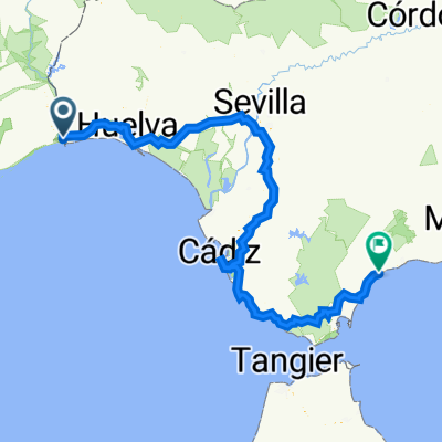
A cycling route starting in Ayamonte, Andalusia, Spain.
Overview
About this route
- Start of route – Vila Real de Santo António
- End of route – Aljezur
- Difficulty level – Intermediate
- Duration – It is recommended to complete the crossing in 5 days with an average of 44.5 km/day
- Altimetry – 2700 m ascent
- GPS coordinates Start: 37.19695, -7.41402
- GPS coordinates End: 37.31672, -8.80289
- Distance: 222.8 km
The Barrocal is the region located between the coast and the Algarve mountains, holding Legal Protection status under the Habitats Directive. This area consists of both gently rolling lands and limestone massifs, both covered with diverse Mediterranean shrub and tree vegetation. On the clayey and fertile soils of the Barrocal, mixed dryland orchards emerge, composed of carob trees, fig trees, almond trees, and olive trees.
Many fauna species are also preserved in the Barrocal, including an extensive list of bird species. Among hills, valleys, and waterways, small towns, villages, and hamlets appear with rich history, customs, and traditions that their populations proudly strive to preserve.
Due to its geography and orography, with an average altitude between 100 and 300 m, cycling through the Barrocal is one of the best ways to explore this typical area of the Algarve region.
- -:--
- Duration
- 222.8 km
- Distance
- 2,683 m
- Ascent
- 2,675 m
- Descent
- ---
- Avg. speed
- ---
- Max. altitude

Route quality
Waytypes & surfaces along the route
Waytypes
Road
104.7 km
(47 %)
Quiet road
64.6 km
(29 %)
Surfaces
Paved
84.7 km
(38 %)
Unpaved
29 km
(13 %)
Asphalt
78 km
(35 %)
Gravel
13.4 km
(6 %)
Continue with Bikemap
Use, edit, or download this cycling route
You would like to ride Sustentur - Rota do Barrocal or customize it for your own trip? Here is what you can do with this Bikemap route:
Free features
- Save this route as favorite or in collections
- Copy & plan your own version of this route
- Split it into stages to create a multi-day tour
- Sync your route with Garmin or Wahoo
Premium features
Free trial for 3 days, or one-time payment. More about Bikemap Premium.
- Navigate this route on iOS & Android
- Export a GPX / KML file of this route
- Create your custom printout (try it for free)
- Download this route for offline navigation
Discover more Premium features.
Get Bikemap PremiumFrom our community
Other popular routes starting in Ayamonte
 Vila real de Santo Artonio - Monte Gordo
- Distance
- 6.1 km
- Ascent
- 49 m
- Descent
- 40 m
- Location
- Ayamonte, Andalusia, Spain
 Cicloturismo-Sul de Espanha e Serra Nevada
- Distance
- 1,436.1 km
- Ascent
- 16,592 m
- Descent
- 16,592 m
- Location
- Ayamonte, Andalusia, Spain
 Ayamonte - 2018-04-04 - MTB
- Distance
- 27.6 km
- Ascent
- 48 m
- Descent
- 48 m
- Location
- Ayamonte, Andalusia, Spain
 BT 55 Villa Real de Santo Antonio - Huelva
- Distance
- 81.3 km
- Ascent
- 358 m
- Descent
- 348 m
- Location
- Ayamonte, Andalusia, Spain
 Algarve 2 (Vila Real - Olhao)
- Distance
- 57.8 km
- Ascent
- 135 m
- Descent
- 139 m
- Location
- Ayamonte, Andalusia, Spain
 16-17 Portugalgrensen - Estepona - deles v Cadiz
- Distance
- 482.3 km
- Ascent
- 2,797 m
- Descent
- 2,786 m
- Location
- Ayamonte, Andalusia, Spain
 16 Ayamonte - Cadiz
- Distance
- 283.8 km
- Ascent
- 1,061 m
- Descent
- 1,055 m
- Location
- Ayamonte, Andalusia, Spain
 PWT-2017_E02: Punta Umbría - Ayamonte
- Distance
- 42.4 km
- Ascent
- 52 m
- Descent
- 56 m
- Location
- Ayamonte, Andalusia, Spain
Open it in the app