

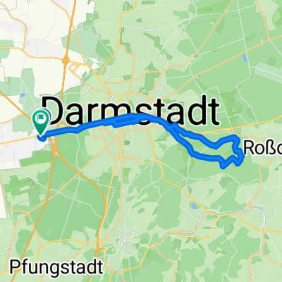
Griesheim-Flughafen-Griesheim
A cycling route starting in Griesheim, Hesse, Germany.
Overview
About this route
Around Frankfurt Airport. Runway West - Runway North/Kelsterbach - Airlift Memorial back to Griesheim.
- -:--
- Duration
- 67 km
- Distance
- 112 m
- Ascent
- 110 m
- Descent
- ---
- Avg. speed
- ---
- Max. altitude

Route quality
Waytypes & surfaces along the route
Waytypes
Track
38.2 km
(57 %)
Quiet road
12.7 km
(19 %)
Surfaces
Paved
32.2 km
(48 %)
Unpaved
30.8 km
(46 %)
Asphalt
29.5 km
(44 %)
Gravel
22.8 km
(34 %)
Continue with Bikemap
Use, edit, or download this cycling route
You would like to ride Griesheim-Flughafen-Griesheim or customize it for your own trip? Here is what you can do with this Bikemap route:
Free features
- Save this route as favorite or in collections
- Copy & plan your own version of this route
- Sync your route with Garmin or Wahoo
Premium features
Free trial for 3 days, or one-time payment. More about Bikemap Premium.
- Navigate this route on iOS & Android
- Export a GPX / KML file of this route
- Create your custom printout (try it for free)
- Download this route for offline navigation
Discover more Premium features.
Get Bikemap PremiumFrom our community
Other popular routes starting in Griesheim
 Über Kotlettpfad uum Bessunger Forsthaus u zurück
- Distance
- 27.8 km
- Ascent
- 367 m
- Descent
- 369 m
- Location
- Griesheim, Hesse, Germany
 Radstrecke Sprint Short-Track Triathlon
- Distance
- 11.7 km
- Ascent
- 13 m
- Descent
- 22 m
- Location
- Griesheim, Hesse, Germany
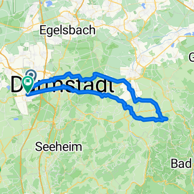 Griesheim - Veste Otzberg und zurück 2024
- Distance
- 70.9 km
- Ascent
- 608 m
- Descent
- 607 m
- Location
- Griesheim, Hesse, Germany
 Andy - to Frankenstein
- Distance
- 23.1 km
- Ascent
- 318 m
- Descent
- 39 m
- Location
- Griesheim, Hesse, Germany
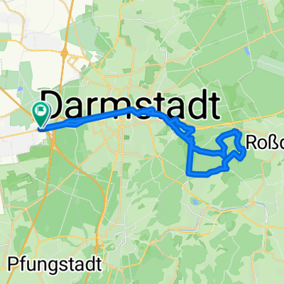 Flughafenstraße, Griesheim nach Eulerweg, Griesheim
- Distance
- 30 km
- Ascent
- 371 m
- Descent
- 383 m
- Location
- Griesheim, Hesse, Germany
 Griesheim-Flughafen-Griesheim
- Distance
- 67 km
- Ascent
- 112 m
- Descent
- 110 m
- Location
- Griesheim, Hesse, Germany
 Marions Wunschroute
- Distance
- 29.5 km
- Ascent
- 32 m
- Descent
- 35 m
- Location
- Griesheim, Hesse, Germany
 Gerade Fahrt in Griesheim
- Distance
- 12.3 km
- Ascent
- 28 m
- Descent
- 91 m
- Location
- Griesheim, Hesse, Germany
Open it in the app