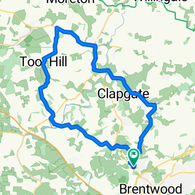
Shenfield to Enfield Lock 2
A cycling route starting in Brentwood, England, United Kingdom.
Overview
About this route
Shenfield StationĀ to Enfield Lock Station. Shorter verionĀ
- 3 h 44 min
- Duration
- 59.8 km
- Distance
- 302 m
- Ascent
- 360 m
- Descent
- 16 km/h
- Avg. speed
- 101 m
- Avg. speed
Route quality
Waytypes & surfaces along the route
Waytypes
Road
20.1 km
(34 %)
Quiet road
18.9 km
(32 %)
Surfaces
Paved
14.6 km
(24 %)
Unpaved
0.8 km
(1 %)
Asphalt
11.4 km
(19 %)
Paved (undefined)
2.7 km
(5 %)
Continue with Bikemap
Use, edit, or download this cycling route
You would like to ride Shenfield to Enfield Lock 2 or customize it for your own trip? Here is what you can do with this Bikemap route:
Free features
- Save this route as favorite or in collections
- Copy & plan your own version of this route
- Sync your route with Garmin or Wahoo
Premium features
Free trial for 3 days, or one-time payment. More about Bikemap Premium.
- Navigate this route on iOS & Android
- Export a GPX / KML file of this route
- Create your custom printout (try it for free)
- Download this route for offline navigation
Discover more Premium features.
Get Bikemap PremiumFrom our community
Other popular routes starting in Brentwood
- 100K South East Essex
- Distance
- 98.8 km
- Ascent
- 326 m
- Descent
- 327 m
- Location
- Brentwood, England, United Kingdom
- Hills!
- Distance
- 37.2 km
- Ascent
- 1,070 m
- Descent
- 1,069 m
- Location
- Brentwood, England, United Kingdom
- Pleshy loop
- Distance
- 100.9 km
- Ascent
- 528 m
- Descent
- 535 m
- Location
- Brentwood, England, United Kingdom
- Circuit 1
- Distance
- 44.3 km
- Ascent
- 274 m
- Descent
- 276 m
- Location
- Brentwood, England, United Kingdom
- Shenfield to Enfield Lock 2
- Distance
- 59.8 km
- Ascent
- 302 m
- Descent
- 360 m
- Location
- Brentwood, England, United Kingdom
- Shenfield to Enfield Lock 1
- Distance
- 81.4 km
- Ascent
- 440 m
- Descent
- 495 m
- Location
- Brentwood, England, United Kingdom
- 5 Pittman Close, Brentwood to Heron Court Farm, 196 Heron Chase, Brentwood
- Distance
- 32.4 km
- Ascent
- 1,014 m
- Descent
- 1,026 m
- Location
- Brentwood, England, United Kingdom
- Pilgrims Hatch - Toot Hill - Highwood - &Back
- Distance
- 42.5 km
- Ascent
- 267 m
- Descent
- 267 m
- Location
- Brentwood, England, United Kingdom
Open it in the app