El Cubillo-Hoya del Peral-Peña del Verdinal-Salvacañete-El Cubillo
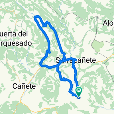
A cycling route starting in Alcalá de la Vega, Castille-La Mancha, Spain.
Overview
About this route
Muchos kilómetros de carretera
- -:--
- Duration
- 48.9 km
- Distance
- 673 m
- Ascent
- 663 m
- Descent
- ---
- Avg. speed
- ---
- Avg. speed
Route highlights
Points of interest along the route
Point of interest after 30.9 km
Continue with Bikemap
Use, edit, or download this cycling route
You would like to ride El Cubillo-Hoya del Peral-Peña del Verdinal-Salvacañete-El Cubillo or customize it for your own trip? Here is what you can do with this Bikemap route:
Free features
- Save this route as favorite or in collections
- Copy & plan your own version of this route
- Sync your route with Garmin or Wahoo
Premium features
Free trial for 3 days, or one-time payment. More about Bikemap Premium.
- Navigate this route on iOS & Android
- Export a GPX / KML file of this route
- Create your custom printout (try it for free)
- Download this route for offline navigation
Discover more Premium features.
Get Bikemap PremiumFrom our community
Other popular routes starting in Alcalá de la Vega
- El Cubillo-Cardenete-El Cubillo(por Fuentelespino)
- Distance
- 139.2 km
- Ascent
- 1,446 m
- Descent
- 1,444 m
- Location
- Alcalá de la Vega, Castille-La Mancha, Spain
- El Cubillo-Salinas del Manzano Salvacañete-El Cubillo ( por la Fuente del Rebollo)
- Distance
- 35.2 km
- Ascent
- 607 m
- Descent
- 600 m
- Location
- Alcalá de la Vega, Castille-La Mancha, Spain
- El Cubillo-Santeron-El Cubillo (por Negrón)
- Distance
- 49.1 km
- Ascent
- 855 m
- Descent
- 855 m
- Location
- Alcalá de la Vega, Castille-La Mancha, Spain
- El Cubillo-Salinas del Manzano-Zafrilla- Salvacañete-El Cubillo CLONED FROM ROUTE 711271
- Distance
- 68.6 km
- Ascent
- 832 m
- Descent
- 836 m
- Location
- Alcalá de la Vega, Castille-La Mancha, Spain
- El Cubillo-Cardenete-El Cubillo(por Landete)
- Distance
- 133.3 km
- Ascent
- 1,239 m
- Descent
- 1,243 m
- Location
- Alcalá de la Vega, Castille-La Mancha, Spain
- El Cubillo-Collado de la Grulla-El Cubillo
- Distance
- 61.2 km
- Ascent
- 616 m
- Descent
- 618 m
- Location
- Alcalá de la Vega, Castille-La Mancha, Spain
- El Cubillo-Valencia(Aras de los Olmos-el Collao-Higueruelas)
- Distance
- 169.9 km
- Ascent
- 1,093 m
- Descent
- 2,262 m
- Location
- Alcalá de la Vega, Castille-La Mancha, Spain
- El Cubillo-Hoya del Peral-Peña del Verdinal-Salvacañete-El Cubillo
- Distance
- 48.9 km
- Ascent
- 673 m
- Descent
- 663 m
- Location
- Alcalá de la Vega, Castille-La Mancha, Spain
Open it in the app