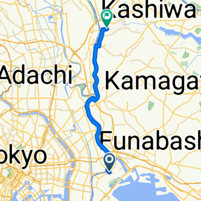
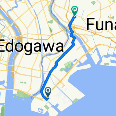
2010-Sep-26 Boso Area
A cycling route starting in Urayasu, Tokyo, Japan.
Overview
About this route
Kururi - Boso Skyline - Mt.Kano
- -:--
- Duration
- 212.6 km
- Distance
- 705 m
- Ascent
- 707 m
- Descent
- ---
- Avg. speed
- ---
- Avg. speed
Route quality
Waytypes & surfaces along the route
Waytypes
Undefined
212.6 km
(100 %)
Surfaces
Undefined
212.6 km
(100 %)
Continue with Bikemap
Use, edit, or download this cycling route
You would like to ride 2010-Sep-26 Boso Area or customize it for your own trip? Here is what you can do with this Bikemap route:
Free features
- Save this route as favorite or in collections
- Copy & plan your own version of this route
- Sync your route with Garmin or Wahoo
Premium features
Free trial for 3 days, or one-time payment. More about Bikemap Premium.
- Navigate this route on iOS & Android
- Export a GPX / KML file of this route
- Create your custom printout (try it for free)
- Download this route for offline navigation
Discover more Premium features.
Get Bikemap PremiumFrom our community
Other popular routes starting in Urayasu
- training run at Kasai area
- Distance
- 21.9 km
- Ascent
- 60 m
- Descent
- 60 m
- Location
- Urayasu, Tokyo, Japan
- Inzai, Chiba
- Distance
- 39.2 km
- Ascent
- 192 m
- Descent
- 186 m
- Location
- Urayasu, Tokyo, Japan
- Day 1 Tokyo - Sagamihara
- Distance
- 53.5 km
- Ascent
- 268 m
- Descent
- 110 m
- Location
- Urayasu, Tokyo, Japan
- 2011-AUG-28 Green Line (TCC ride)
- Distance
- 205.6 km
- Ascent
- 723 m
- Descent
- 722 m
- Location
- Urayasu, Tokyo, Japan
- PunkRidesJapan
- Distance
- 709.6 km
- Ascent
- 2,957 m
- Descent
- 2,962 m
- Location
- Urayasu, Tokyo, Japan
- 2010-Sep-26 Boso Area
- Distance
- 212.6 km
- Ascent
- 705 m
- Descent
- 707 m
- Location
- Urayasu, Tokyo, Japan
- 123dfsdfsdfsdfsdfs3131313
- Distance
- 0.5 km
- Ascent
- ---
- Descent
- ---
- Location
- Urayasu, Tokyo, Japan
- Steady ride in Minato-Ku
- Distance
- 14.3 km
- Ascent
- 0 m
- Descent
- 28 m
- Location
- Urayasu, Tokyo, Japan