

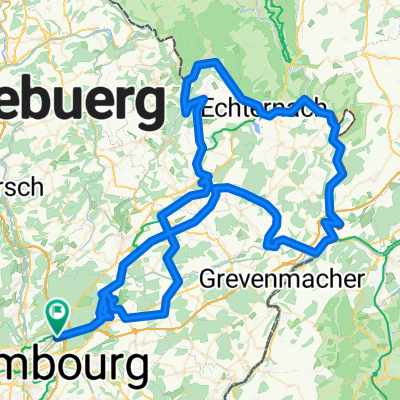
Mersch La Rochette Junglister
A cycling route starting in Luxembourg-Kirchberg, District de Luxembourg, Luxembourg.
Overview
About this route
- 3 h 38 min
- Duration
- 58.6 km
- Distance
- 577 m
- Ascent
- 568 m
- Descent
- 16.1 km/h
- Avg. speed
- ---
- Max. altitude

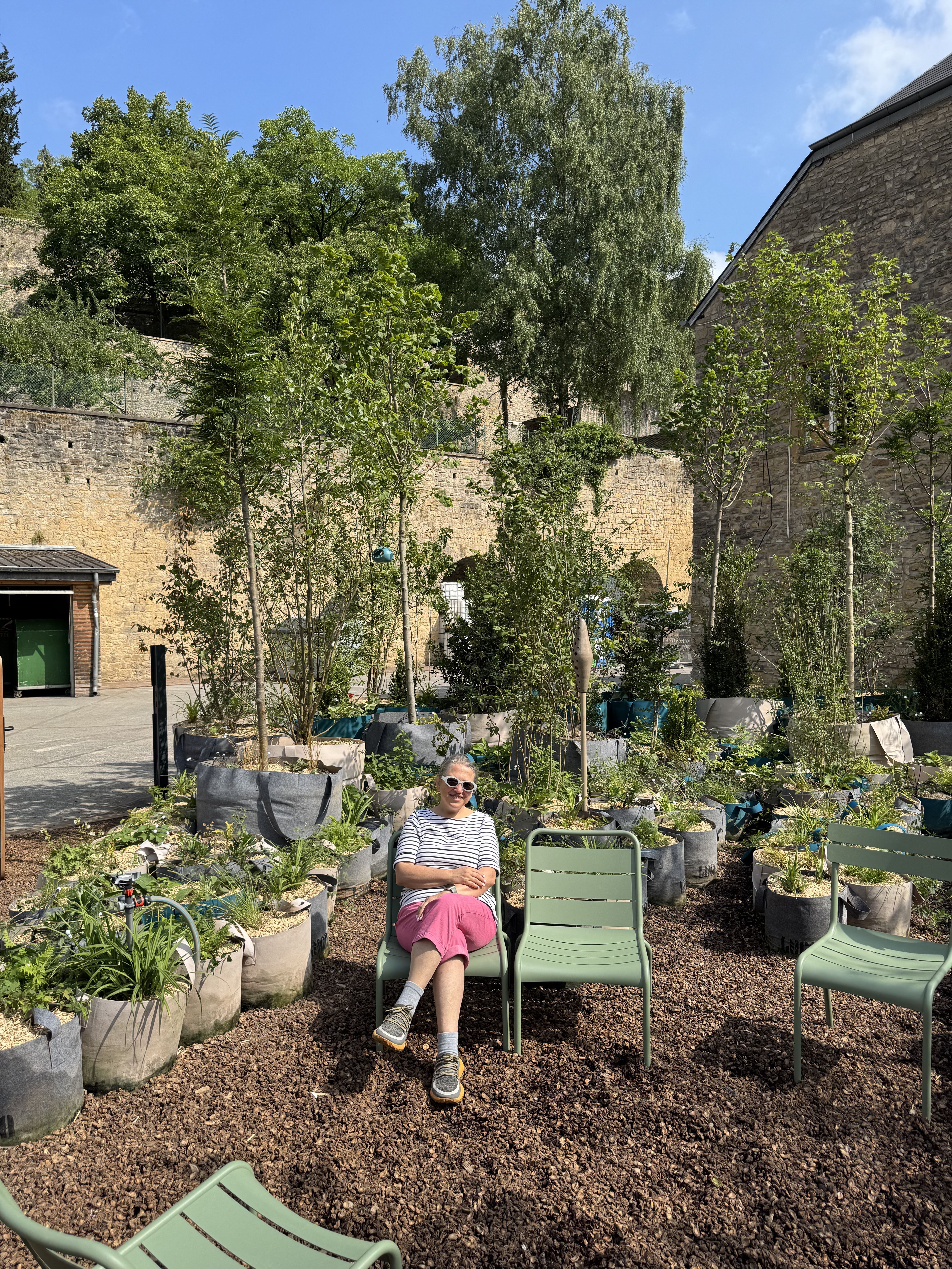
Route photos


Route quality
Waytypes & surfaces along the route
Waytypes
Quiet road
14.6 km
(25 %)
Cycleway
13.5 km
(23 %)
Surfaces
Paved
56.8 km
(97 %)
Unpaved
1.2 km
(2 %)
Asphalt
51 km
(87 %)
Concrete
5.9 km
(10 %)
Continue with Bikemap
Use, edit, or download this cycling route
You would like to ride Mersch La Rochette Junglister or customize it for your own trip? Here is what you can do with this Bikemap route:
Free features
- Save this route as favorite or in collections
- Copy & plan your own version of this route
- Sync your route with Garmin or Wahoo
Premium features
Free trial for 3 days, or one-time payment. More about Bikemap Premium.
- Navigate this route on iOS & Android
- Export a GPX / KML file of this route
- Create your custom printout (try it for free)
- Download this route for offline navigation
Discover more Premium features.
Get Bikemap PremiumFrom our community
Other popular routes starting in Luxembourg-Kirchberg
 Mersch La Rochette Junglister
- Distance
- 58.6 km
- Ascent
- 577 m
- Descent
- 568 m
- Location
- Luxembourg-Kirchberg, District de Luxembourg, Luxembourg
 Randonnée de la Foire de Printemps XL
- Distance
- 117.7 km
- Ascent
- 1,344 m
- Descent
- 1,383 m
- Location
- Luxembourg-Kirchberg, District de Luxembourg, Luxembourg
 G-wald 20190906
- Distance
- 28.3 km
- Ascent
- 327 m
- Descent
- 328 m
- Location
- Luxembourg-Kirchberg, District de Luxembourg, Luxembourg
 Gwald20200705
- Distance
- 26.9 km
- Ascent
- 400 m
- Descent
- 402 m
- Location
- Luxembourg-Kirchberg, District de Luxembourg, Luxembourg
 Luxemburg
- Distance
- 10.8 km
- Ascent
- 456 m
- Descent
- 455 m
- Location
- Luxembourg-Kirchberg, District de Luxembourg, Luxembourg
 G wald 2020 04 19
- Distance
- 18.2 km
- Ascent
- 282 m
- Descent
- 280 m
- Location
- Luxembourg-Kirchberg, District de Luxembourg, Luxembourg
 Rue des Hauts-Fourneaux, Luxembourg à Route de Mersch, Gosseldange
- Distance
- 12.1 km
- Ascent
- 26 m
- Descent
- 39 m
- Location
- Luxembourg-Kirchberg, District de Luxembourg, Luxembourg
 Fond Saint Martin, Luxembourg to Fond Saint Martin, Luxembourg
- Distance
- 7.4 km
- Ascent
- 61 m
- Descent
- 56 m
- Location
- Luxembourg-Kirchberg, District de Luxembourg, Luxembourg
Open it in the app