
B49, Ediger-Eller nach Moselweinstraße 3, Ediger-Eller
A cycling route starting in Sankt Aldegund, Rhineland-Palatinate, Germany.
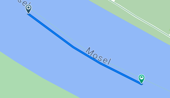
Overview
About this route
- 1 min
- Duration
- 0.2 km
- Distance
- 0 m
- Ascent
- 0 m
- Descent
- 13.3 km/h
- Avg. speed
- ---
- Max. altitude

Route quality
Waytypes & surfaces along the route
Waytypes
Cycleway
0.2 km
(100 %)
Continue with Bikemap
Use, edit, or download this cycling route
You would like to ride B49, Ediger-Eller nach Moselweinstraße 3, Ediger-Eller or customize it for your own trip? Here is what you can do with this Bikemap route:
Free features
- Save this route as favorite or in collections
- Copy & plan your own version of this route
- Sync your route with Garmin or Wahoo
Premium features
Free trial for 3 days, or one-time payment. More about Bikemap Premium.
- Navigate this route on iOS & Android
- Export a GPX / KML file of this route
- Create your custom printout (try it for free)
- Download this route for offline navigation
Discover more Premium features.
Get Bikemap PremiumFrom our community
Other popular routes starting in Sankt Aldegund
 26a-17-Neef-Löf
- Distance
- 54.6 km
- Ascent
- 231 m
- Descent
- 245 m
- Location
- Sankt Aldegund, Rhineland-Palatinate, Germany
 Easy ride in Bullay
- Distance
- 14.5 km
- Ascent
- 10 m
- Descent
- 0 m
- Location
- Sankt Aldegund, Rhineland-Palatinate, Germany
 Neef-Neef-Königetappe
- Distance
- 166.6 km
- Ascent
- 1,086 m
- Descent
- 1,113 m
- Location
- Sankt Aldegund, Rhineland-Palatinate, Germany
 Petersbergstraße 58, Neef nach Am Mühlenteich 37, Alf
- Distance
- 6.8 km
- Ascent
- 7 m
- Descent
- 59 m
- Location
- Sankt Aldegund, Rhineland-Palatinate, Germany
 Traben-Trabach, Tag 2
- Distance
- 56.2 km
- Ascent
- 349 m
- Descent
- 346 m
- Location
- Sankt Aldegund, Rhineland-Palatinate, Germany
 Sankt Aldegund , Kaimt , Reil , Zell , Alf ,Sankt Aldegund
- Distance
- 37.3 km
- Ascent
- 253 m
- Descent
- 253 m
- Location
- Sankt Aldegund, Rhineland-Palatinate, Germany
 B49 2, Sankt Aldegund nach Hochstraße 26, Ediger-Eller
- Distance
- 51.7 km
- Ascent
- 1,673 m
- Descent
- 1,670 m
- Location
- Sankt Aldegund, Rhineland-Palatinate, Germany
 Zell, Tag 1
- Distance
- 23.4 km
- Ascent
- 173 m
- Descent
- 175 m
- Location
- Sankt Aldegund, Rhineland-Palatinate, Germany
Open it in the app