
Kirchhain Christenberg
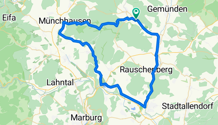
A cycling route starting in Rosenthal, Hesse, Germany.
Overview
About this route
- -:--
- Duration
- 60.9 km
- Distance
- 490 m
- Ascent
- 447 m
- Descent
- ---
- Avg. speed
- 333 m
- Max. altitude

Route quality
Waytypes & surfaces along the route
Waytypes
Track
26.8 km
(44 %)
Quiet road
20.7 km
(34 %)
Surfaces
Paved
37.2 km
(61 %)
Unpaved
16.4 km
(27 %)
Asphalt
36.6 km
(60 %)
Gravel
13.4 km
(22 %)
Route highlights
Points of interest along the route
Point of interest after 42.9 km
Achtung Montags ist am Christenberg Ruhetag!
Continue with Bikemap
Use, edit, or download this cycling route
You would like to ride Kirchhain Christenberg or customize it for your own trip? Here is what you can do with this Bikemap route:
Free features
- Save this route as favorite or in collections
- Copy & plan your own version of this route
- Sync your route with Garmin or Wahoo
Premium features
Free trial for 3 days, or one-time payment. More about Bikemap Premium.
- Navigate this route on iOS & Android
- Export a GPX / KML file of this route
- Create your custom printout (try it for free)
- Download this route for offline navigation
Discover more Premium features.
Get Bikemap PremiumFrom our community
Other popular routes starting in Rosenthal
 Von Willershausen durch Bottendorf nach Willershausen, Rosenthal
- Distance
- 24.8 km
- Ascent
- 380 m
- Descent
- 380 m
- Location
- Rosenthal, Hesse, Germany
 Radrunde durch Rauschenbergh
- Distance
- 12.4 km
- Ascent
- 163 m
- Descent
- 245 m
- Location
- Rosenthal, Hesse, Germany
 Rosenthal - Bad Zwesten- Haina- Rosenthal
- Distance
- 67 km
- Ascent
- 871 m
- Descent
- 852 m
- Location
- Rosenthal, Hesse, Germany
 Burgwald 08-22
- Distance
- 26.8 km
- Ascent
- 447 m
- Descent
- 455 m
- Location
- Rosenthal, Hesse, Germany
 Bracht Christenberg
- Distance
- 8.4 km
- Ascent
- 168 m
- Descent
- 64 m
- Location
- Rosenthal, Hesse, Germany
 Abendrunde
- Distance
- 49.5 km
- Ascent
- 285 m
- Descent
- 319 m
- Location
- Rosenthal, Hesse, Germany
 Rosenthal nach Forsthaus Willershausen 1, Rosenthal
- Distance
- 36 km
- Ascent
- 538 m
- Descent
- 537 m
- Location
- Rosenthal, Hesse, Germany
 Kirchhain Christenberg
- Distance
- 60.9 km
- Ascent
- 490 m
- Descent
- 447 m
- Location
- Rosenthal, Hesse, Germany
Open it in the app