

Campodolcino to Schaan
A cycling route starting in Campodolcino, Lombardy, Italy.
Overview
About this route
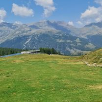
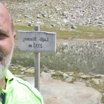
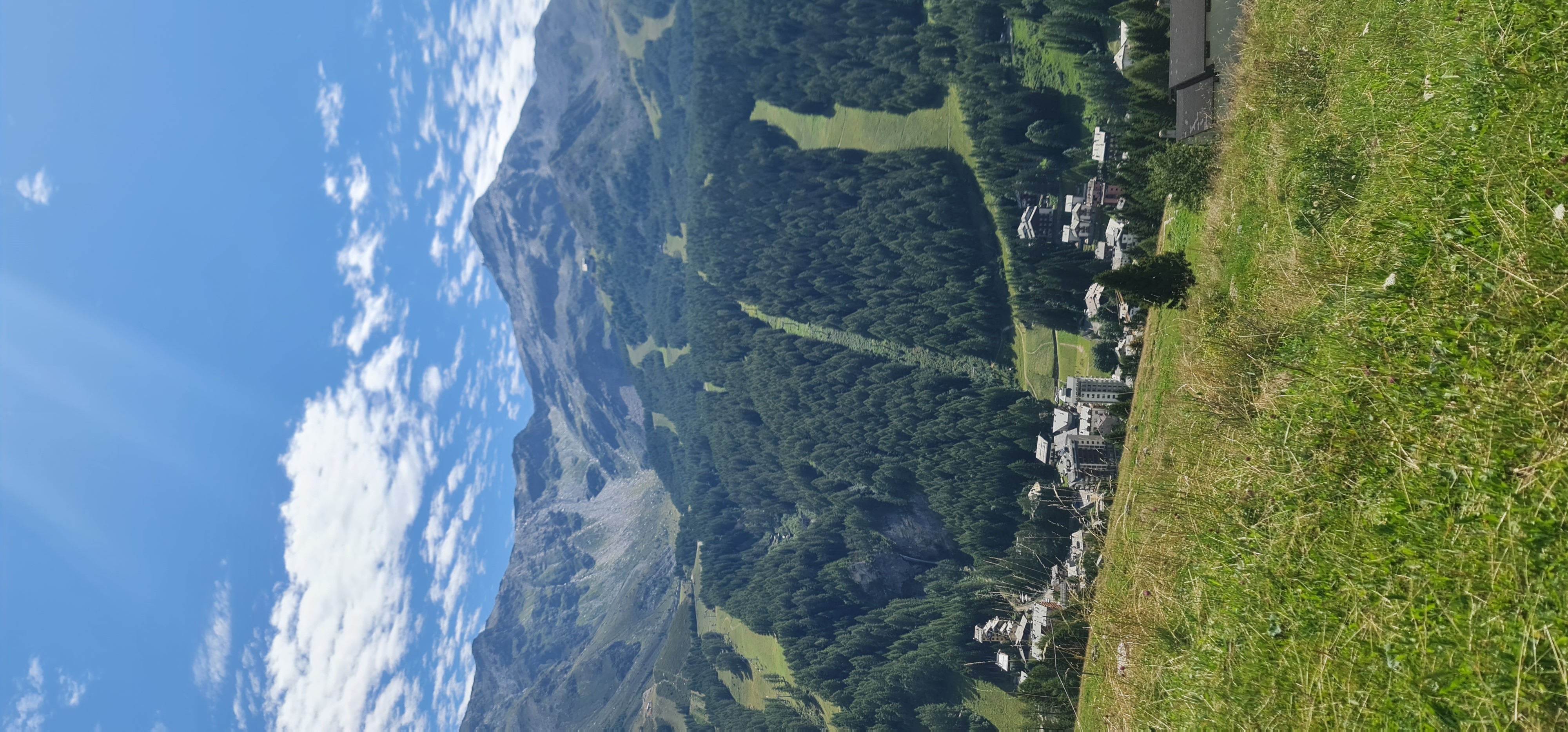
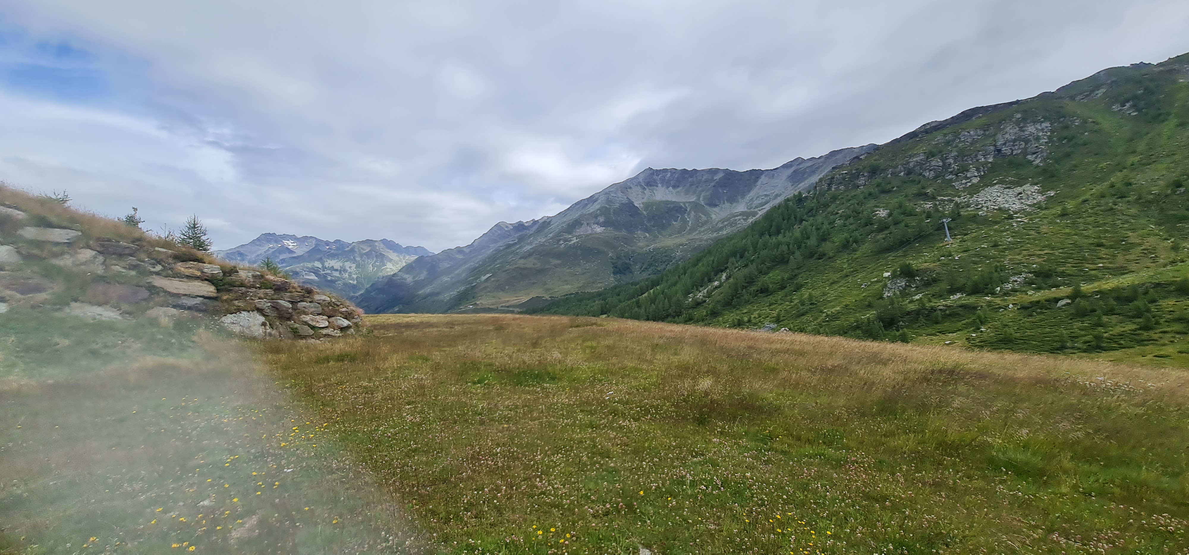
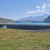
Day 3 of Genova to Berlin. Serious climb to Swiss border, nice cruise down to Switzerland afterwards. Weather was dreadful, last hike up to Liechtenstein was killer.
- -:--
- Duration
- 118.3 km
- Distance
- 1,448 m
- Ascent
- 2,079 m
- Descent
- ---
- Avg. speed
- ---
- Max. altitude

Continue with Bikemap
Use, edit, or download this cycling route
You would like to ride Campodolcino to Schaan or customize it for your own trip? Here is what you can do with this Bikemap route:
Free features
- Save this route as favorite or in collections
- Copy & plan your own version of this route
- Split it into stages to create a multi-day tour
- Sync your route with Garmin or Wahoo
Premium features
Free trial for 3 days, or one-time payment. More about Bikemap Premium.
- Navigate this route on iOS & Android
- Export a GPX / KML file of this route
- Create your custom printout (try it for free)
- Download this route for offline navigation
Discover more Premium features.
Get Bikemap PremiumFrom our community
Other popular routes starting in Campodolcino
 Da Via G. Carducci a Via G. Carducci
- Distance
- 13.7 km
- Ascent
- 633 m
- Descent
- 675 m
- Location
- Campodolcino, Lombardy, Italy
 Et7 : Montespluga - Cisano Bergamasco - 2015
- Distance
- 122.3 km
- Ascent
- 315 m
- Descent
- 2,025 m
- Location
- Campodolcino, Lombardy, Italy
 Da Via G. Carducci a Via G. Carducci
- Distance
- 31.6 km
- Ascent
- 1,356 m
- Descent
- 1,410 m
- Location
- Campodolcino, Lombardy, Italy
 Da Via G. Carducci a Via G. Carducci
- Distance
- 12.6 km
- Ascent
- 414 m
- Descent
- 447 m
- Location
- Campodolcino, Lombardy, Italy
 Da Via G. Carducci a Via G. Carducci
- Distance
- 16.4 km
- Ascent
- 665 m
- Descent
- 707 m
- Location
- Campodolcino, Lombardy, Italy
 Da Via G. Carducci a Via G. Carducci
- Distance
- 30.3 km
- Ascent
- 836 m
- Descent
- 877 m
- Location
- Campodolcino, Lombardy, Italy
 Larici-Motta-Madesimo
- Distance
- 16.4 km
- Ascent
- 494 m
- Descent
- 541 m
- Location
- Campodolcino, Lombardy, Italy
 Madesimo-Montespluga
- Distance
- 25.3 km
- Ascent
- 710 m
- Descent
- 707 m
- Location
- Campodolcino, Lombardy, Italy
Open it in the app