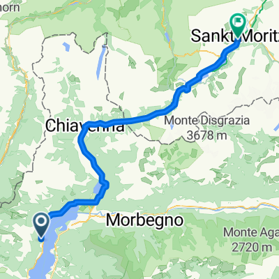
San Bernardino-Spluga
- 232.8 km
- 2,910 m
- 2,912 m
- Calozzo, Lombardy, Italy
A cycling route starting in Calozzo, Lombardy, Italy.
Overview
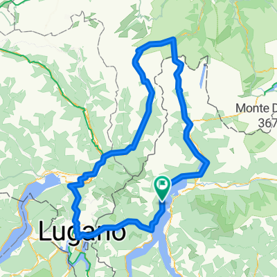
Beautiful route with 6 - 11% over a length of 15 km! From climb kilometer 8 it gets a bit flatter, more deserted, and also less exciting. However, it still rides nicely until about 1200m where the end of the paved track forces road cyclists to turn around. The descent is -like apparently all in this area- to be enjoyed with caution due to unpredictable drivers (listen for car horns behind corners!): keeping to the right is a must, cutting corners is absolutely forbidden, and you should have lights in overcast weather because here and there you go through shady forest stretches. The asphalt is not dazzling, but otherwise, it is nice to ride...
created this 17 years ago
Route quality
Quiet road
23.8 km
(60 %)
Road
10.7 km
(27 %)
Paved
27.8 km
(70 %)
Unpaved
0.4 km
(1 %)
Asphalt
27.8 km
(70 %)
Ground
0.4 km
(1 %)
Undefined
11.5 km
(29 %)
Continue with Bikemap
You would like to ride Hoch über Garzeno und zurück or customize it for your own trip? Here is what you can do with this Bikemap route:
Free trial for 3 days, or one-time payment. More about Bikemap Premium.
Discover more Premium features.
Get Bikemap PremiumFrom our community
Open it in the app