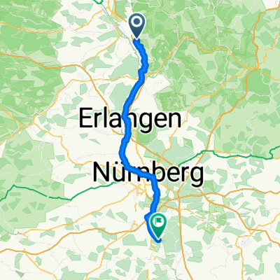
Buttenheim-Eibgrat

A cycling route starting in Buttenheim, Bavaria, Germany.
OverviewAbout this route

Hike from the Buttenheim parking lot to Eibgrat near Spieß

Translated, show original (German)
-:--
Duration
40.8 km
Distance
1,206 m
Ascent
980 m
Descent
---
Avg. speed
---
Max. altitude
Rennradtourcreated this 5 years ago
Route qualityWaytypes & surfaces along the route
Waytypes
  • Track

    29 km71 %
  • Quiet road

    4.9 km12 %
  • Path

    3.3 km8 %
Surfaces

Paved

10.2 km(25 %)

Unpaved

22 km(54 %)
  • Gravel

    11.8 km29 %
  • Asphalt

    8.6 km21 %
  • Ground

    7.3 km18 %
Continue with BikemapUse, edit, or download this cycling route
You would like to ride Buttenheim-Eibgrat or customize it for your own trip? Here is what you can do with this Bikemap route:
Free features
Premium features

Free trial for 3 days, or one-time payment. More about Bikemap Premium.

  • Navigate this route on iOS & Android
  • Export a GPX / KML file of this route
  • Create your custom printout (try it for free)
  • Download this route for offline navigation

Discover more Premium features.

Get Bikemap Premium
From our communityOther popular routes starting in Buttenheim

Open it in the app